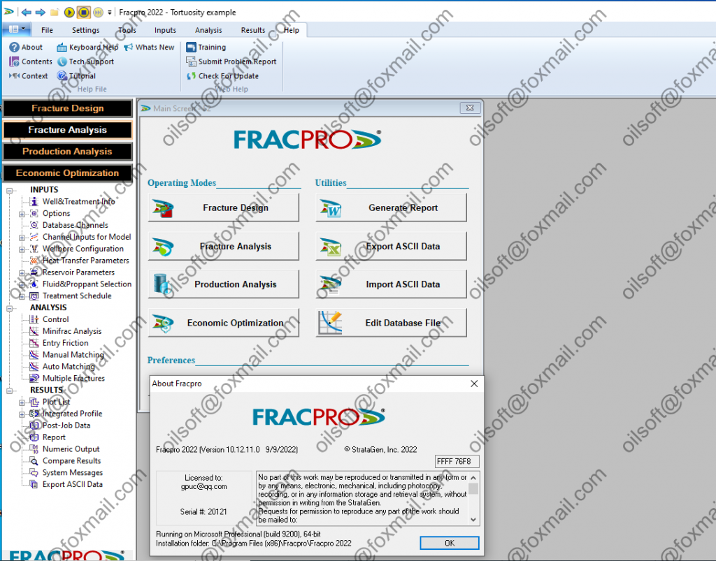
FracPT 2022

FRACPRO,一套优秀的压裂商业软件组合,可以帮助石油行业进行先进的裂缝设计、分析和监控。在全世界范围内的油公司、油服公司、咨询顾问和高校中,FRACPRO的运用都极为广泛。

FRACPRO软件组合的功能强大,可以进行非平行裂缝的设计、分析和监控,可助力裂缝设计方案的工程化和现场实施,优化生产,提高采收率和经济效益。 改善油井性能 通过内置算法和实时数据的结合,FRACPRO设计、分析和监控软件组合可对任何储层类型、渗透率级别和储层位置进行连续的评估,进而设计出色的压裂方案,提高油井性能。

全集成模块 提高投资回报率 FRACPRO软件组合中含有多个集成模块,完美助力裂缝的设计和分析,帮助完成经济性优化和油藏产能评价。


发表在 采油试井压裂 | 标签为 , , | FracPT 2022已关闭评论

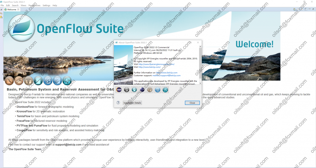
OpenFlow 2022

Featuring a set of unique capabilities to perform complete modeling & simulation workflows at both regional and local scales, OpenFlow SuiteTM is the way for exploration and reservoir assessment teams to successfully tackle today E&P challenges, benefiting from high-resolution reliable models, which ultimately guarantee safer decision making.

A workflow-oriented software platform

OpenFlow SuiteTM features a range of advanced software modules, which are seamlessly linked and grouped together in a set of streamlined workflows:

  • Petroleum System Assessment Workflow

  • Reservoir Characterization & Modeling Workflow

    • EasyTraceTM: Well Log Analysis & Processing

    • InterwellTM: Seismic inversion and reservoir characterization

    • FracaFlow®: Fractured Reservoirs Characterization & Modeling

  • Reservoir Simulation, Assisted History Matching & Uncertainty Analysis Workflow

Enabling multi-disciplinary approaches through a database-centric integrated work environment

Multi-disciplinary approaches are at the core of the OpenFlow SuiteTM design, with a set of tools unified in an integrated work environment that share a persistent data model and may be combined according to the operational requirements.

Operational effectiveness

Integrating a bundle of geoscience applications in a next-generation, rich-client software environment, OpenFlow SuiteTM provides a more intuitive user experience by bringing interactivity to a new level, increasing user-friendliness and reducing learning-curves through clear user guidance. This ultimately results in significant productivity enhancement.

Technical excellence

OpenFlow SuiteTM fully benefits from validated IFPen Group research outcomes. This results in the continuous implementation of unique software capabilities, paving the way for breakthrough achievements in the most challenging E&P contexts.

发表在 数值模拟软件 | 标签为 , , , | OpenFlow 2022已关闭评论

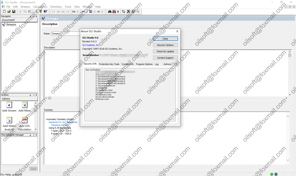
OLI systems 9.6.3

Enhance process research, design and operations performance with rigorous chemistry analysis

OLI Studio: Stream Analyzer enables in-depth chemistry analysis for electrolyte and non-electrolyte systems that serves as a virtual lab for chemistry analysis, reduces physical experiments, improves quality of process designs and speed of process troubleshooting and makes environmental compliance cost effective.

It is a first principles-based analysis tool with an unparalleled chemistry property database and three thermodynamic models that deliver accurate, rigorous multi-component calculations  for the broadest range of phenomena and operating conditions.

Key Capabilities

  • Equilibrium calculations – solid-aqueous-vapor-organic phase distribution
  • Advanced mechanisms – redox, kinetics, surface reactions, etc.
  • Advanced property calculations – ORP, water activity, transport properties, etc.
  • Single point equilibrium calculations – isothermal, set pH, bubble and dew points, etc.
  • Multiple point equilibrium calculations, plots – trends in pH, T, P, concentration, etc.
  • Simple mix and separate capabilities

Sample Applications

  • Mitigate corrosion risk with amine chloride sublimation
  • Optimize materials selection with high-pressure autoclave formulation
  • Improve process design with gas-phase condensation
  • Improve process design and materials selection with pH prediction
  • Eliminate toxic contamination with trace and heavy metal simulation
发表在 采油试井压裂 | 标签为 , , | OLI systems 9.6.3已关闭评论

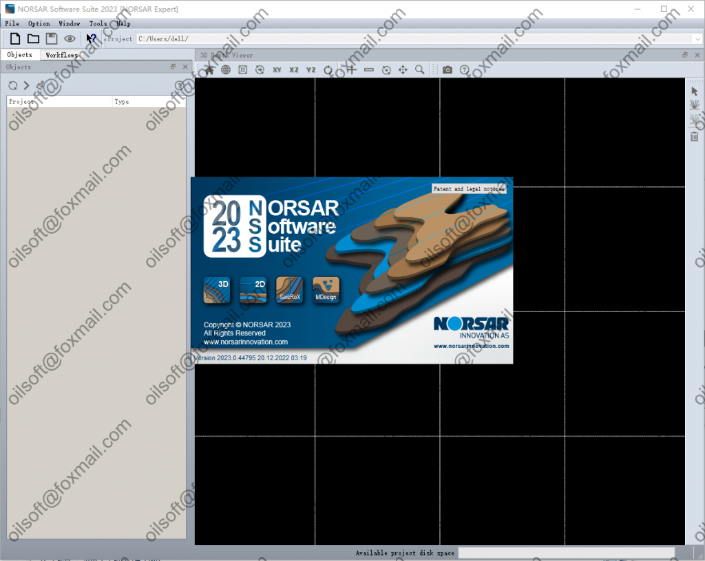
norsar 2023

NORSAR Software Suite 2023 is a new major release featuring new functionalities, improvements, and bug fixes. Highlights of the release are a new 3D Point Spread Function workflow, MDesign export functions, a 2D lateral property gradients function and a new dark user interface style. See the list below for details.

Common functions

Reset of settings and selection of Preferences available from the Startup dialog.
New style option under Preferences: Dark.
Improved user’s control of the 3D Viewers.
Extensive validation of user-defined input: Maximum name length and valid characters.
File import no longer requires a suffix, that is, a “.” in the filename.
With a single click, switch on/off many elements of common type in the 3D Viewer.
NORSAR-2D

Can make lateral property (Vp, Vs, density, etc.) gradients.
To make 2D model from 1D Model is improved and is more stable.
Improved coordinate info from the Hot Cursor.
NORSAR-3D

Supercritical reflections can be filtered or plotted with a separate color in the Interactive Illumination Rays plot and in the Shot-Direction Ray-Tracer.
Improved Max Diving Depth filter in the Illumination Cubes workflow.
Corrected the generation of Time-to-Depth mapping function from a time domain velocity cube.
Polyline import for data in US-feet.
Connection to Mesa 17.
SeisRoX

New workflow to compute Point Spread Functions (PSFs) only.
Improved progress report when workflows are running.
Improved SEG-Y export of results.
MDesign

Extensive new export functions and formats.
In addition, several stability fixes and improvements.

文件大小:1 dvd

下载地址:点这下载

发表在 数值模拟软件, 正演反演软件 | 标签为 , , , , , | norsar 2023已关闭评论

密码保护:petrel 2022

此内容受密码保护。如需查阅,请在下列字段中输入您的密码。

发表在 地质建模软件, 数值模拟软件 | 标签为 , , , , , | 密码保护:petrel 2022已关闭评论

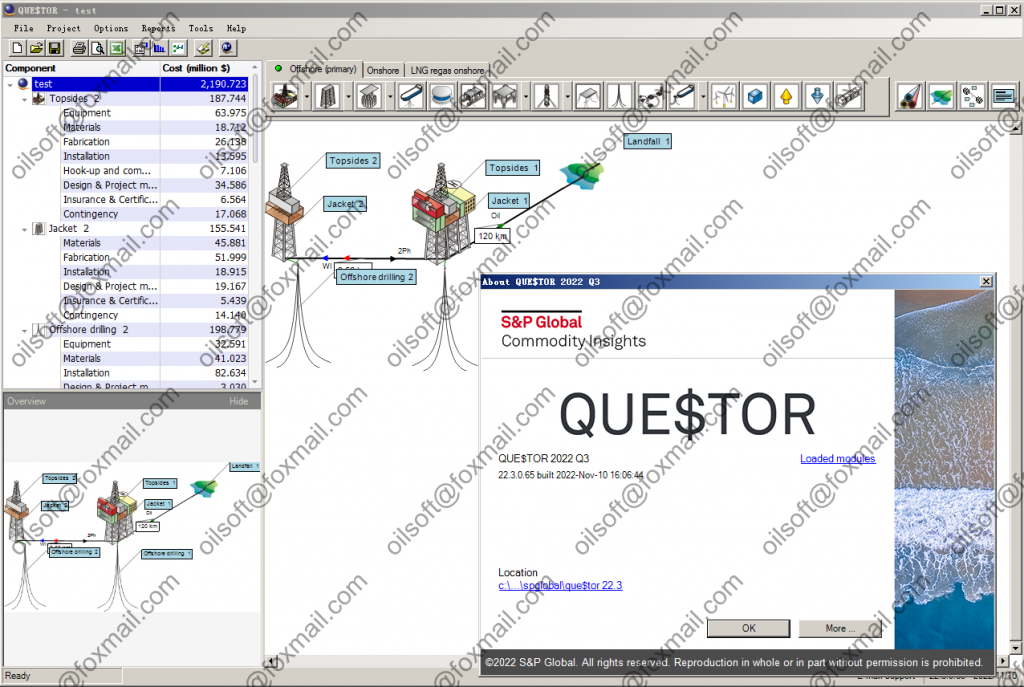
QUE$TOR 2022

QUE$TOR: Oil and gas cost estimation software

Discover accurate cost estimates for all of your E&P projects

How do you estimate your project lifecycle costs?

Used extensively by cost estimators, field development engineers and managers in the oil and gas industry, QUE$TOR provides concept screening, optimization and detailed oil and gas CAPEX/OPEX cost estimates. The QUE$TOR application suite includes QUE$TOR Offshore, QUE$TOR Onshore and QUE$TOR LNG Regasification modules. With its comprehensive cost database for materials, labour, technologies and equipment, the software is used to:

  • Accurately model oil/gas expenditures and production
  • Create development scheduling
  • Save hundreds of hours in research and analysis
  • Support feasibility and pre-FEED studies and concept selection
  • Support cost management for multiple upstream oil and gas projects
  • Produce regional project benchmarking
  • Access latest global cost information with twice-a-year updates on over 100,000 cost data points
发表在 钻井测井软件 | 标签为 , , | QUE$TOR 2022已关闭评论

gohfer 9.3 64bit 完美版

发表在 采油试井压裂 | 标签为 , , , | gohfer 9.3 64bit 完美版已关闭评论

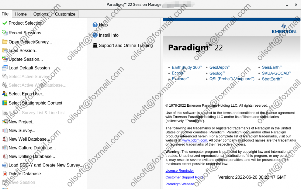
Paradigm 2022

Emerson Paradigm E&P companies, which need to handle the vast amount of data that is currently available to them, need advanced technologies to help them optimize their work.

Emerson Paradigm ™, the industry-leading technology innovator, is involved in the release solutions of Paradigm 18 with the goal of delivering accurate results in less time and with less user effort.

Paradigm 22 enhances your work experience through automation, integration, collaboration, and product optimization, and provides the solutions it needs in today’s rapidly changing world. With the increasing development of data analysis and analysis software in the oil and gas industry, countless companies are trying to provide comprehensive software that can meet the needs of users in the field of data analysis and analysis in the oil and gas industry.

Emerson Paradigm is one of the software made by Emerson company, which is well-known among those interested in analyzing and analyzing data in the oil and gas industry. This software, with all the facilities required by the user in the field of data analysis and review in the oil and gas industry, has been able to achieve good popularity over the years. Data analysis software in the oil and gas industry should be simple, practical and fast according to the volume of use and have the ability to adapt to all systems and hardware that Emerson Paradigm software has well covered these needs. .

Different user comments have shown that Data analysis software in the oil and gas industry should be simple, practical and fast according to the volume of use and should be compatible with all systems and hardware that Emerson Paradigm software has well covered these needs. .

Different user comments have shown that Data analysis software in the oil and gas industry should be simple, practical and fast according to the volume of use and have the ability to adapt to all systems and hardware that Emerson Paradigm software has well covered these needs. .

Different user comments have shown that Emerson Paradigm software has done well in meeting the needs of data analysis and analysis in the oil and gas industry.

New Features and Enhancements

Coordinate Systems Service (CSS)
-Added support for transforming coordinates currently in Pulkovo 1942, Pulkovo 1995 or WGS 1984
based coordinate reference systems to the Geodezicheskaya Sistema Koordinat 2011 coordinate reference system.
-The transformation method used by “Deutsche Hauptdreiecksnetz – WGS 1984” was changed to a more accurate one, as recommended by the EPSG dataset (transformation code 1777).
-Added new units Rayleigh, megaRayleigh, (Rayleigh)squared, (megaRayleigh)squared.
-Added new units (per meter second, per foot second, meter per square meter, meter per square kilometer, foot per square foot and foot per square mile), new dimension (inverse length per time), and new measurements (inverse length per time, length per area).
-Added new Symbol aliases for inverse length per time units. These are “1/m.s” for the unit “per meter
second” and “1/ft.s” for the unit “per foot second”.

Epos Services Control Panel
-The Create New Segment dialog box for Windows platform, now provides the option to configure a PNS server to retrieve OS users using LDAP search.
-A new parameter, ORBPORTRANGE, was added to the PNS setting dialog box for specifying the range of ports to be used for PNS services, and therefore facilitate the configuration of firewalls.
-For ease of use, the data path threshold is now set and displayed in GB. Previously it was defined as an
integer percentage of the total data path size, and could be unnecessarily large.
-Our support for Active Directory now extends to the use of specific organizational units (ou).

Fixed Problems

Coordinate Systems Service (CSS)
The Epsg alias 1065 to Coordinate frame translation is now assigned to the correct operation – Position
vector translation. Previously, this alias was assigned incorrectly.
To address an issue whereby ArcGIS was not being able to recognize the WKT, we used for certain projected coordinate systems, we have removed the option to use the JHS UTM map projection operation. From now on, only the USGS implementation of the UTM map operation will be available.

发表在 地震资料处理软件, 地震资料解释软件, 钻井测井软件 | 标签为 , , , , , , | Paradigm 2022已关闭评论

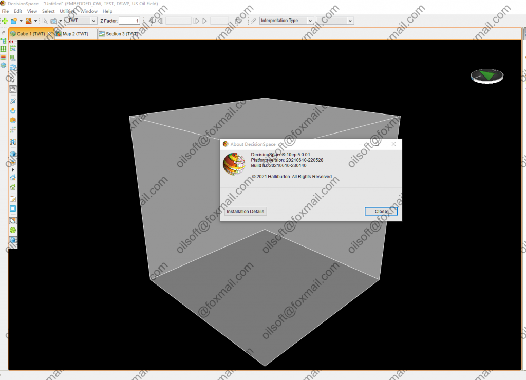
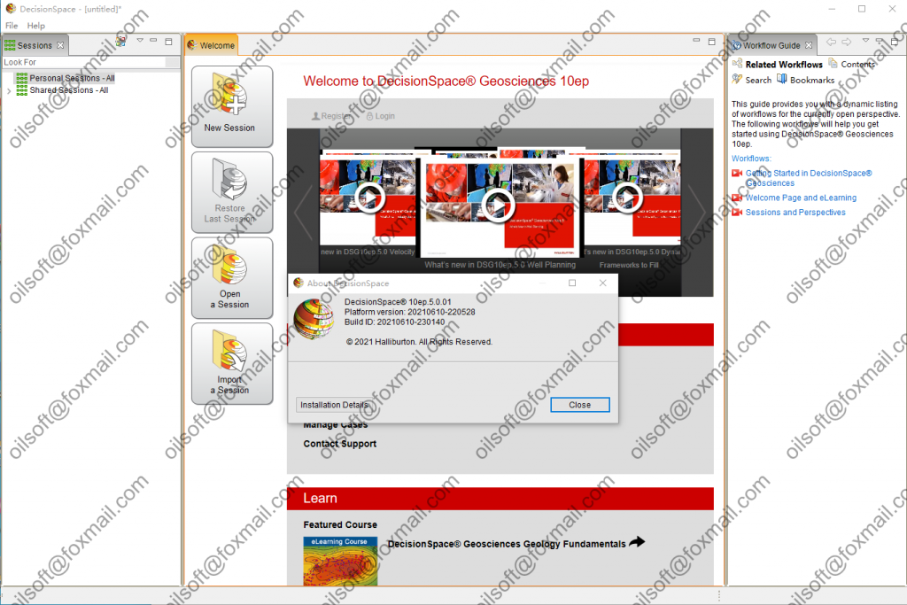
Landmark DSG 10ep5

A Taste of the Benefits

Some of the noteworthy benefits you can expect from DecisionSpace® Geosciences 10ep to help you do more with less include: :

  • A comprehensive workflow for unconventionals
  • New integrated petrophysics offering for log analysts and asset geologists, enabling dynamic property mapping and further accelerating the workflow in static and dynamic modeling
  • Key capabilities including enterprise data search, 2D mapping, multivariate analysis, and automated fault interpretation
  • Increased performance improvements

Workflows that Save Time & Money

Workflows are an important part of daily life in the E&P world. All of the DecisionSpace Geosciences workflows are specially designed to assist with optimizing exploration, reservoir, and well construction lifecycle management. Some are brand new and others have been redesigned with the current 10ep release, making them more relevant to the pressing market needs of today.

    • E&P Search – Asset teams spend a significant amount of time finding, loading, and validating data. DecisionSpace Geosciences 10ep provides a GIS-based search workspace that provides ready access to all available data across the enterprise including multi-vendor data, so you can easily find and quickly get to work with the relevant data, freeing time for interpretation, petrophysical evaluation, earth modeling, or drilling.


    • Petroleum Systems Modeling – As you build your prospect portfolio in DecisionSpace Geosciences 10ep, you can perform quick basin screening and lead definition, or assess connectivity and compartmentalization using proven Permedia Petroleum Systems modeling software now embedded in our geologic interpretation component.


    • Integrated Petrophysics – Increase asset team efficiency by reducing the time you spend looking for and analyzing high-value log data, freeing time for reservoir characterization and formation evaluation workflows. The single platform of DecisionSpace Geosciences 10ep enables true multi-user and single-to-multi-well-to-field level capability from Borehole Data Management (BHDM) to Project Data Management. With information stored centrally, it can be promptly shared across the asset team, eliminating the need to shift, export, and manipulate borehole and log data from multiple stores.


    • Redesigned Mapping Workflows – New DecisionSpace Geosciences 10ep capability takes proven ZMAP+ gridding and contouring algorithms and packages them in a new tool with interactive data analysis and filtering, advanced horizon merge options, surface shaping, and advanced map QC capabilities, so you can create more accurate maps faster.


    • Automated Fault Interpretation – Fault interpretation can take up a significant amount of budgeted interpretation time, and any ability to augment this step can significantly reduce time while increasing quality. DecisionSpace Geosciences 10ep includes a suite of fault tools for automatic interpretation and validation of faults in a seismic volume, while also providing the ability to adjust and improve the results in an efficient way as a timesaving extension to the manual interpretation workflow.


    • Earth Modeling – Asset modeling teams will greatly benefit from the integrated reservoir characterization solution that focuses on robust integrated workflows. Asset complexities and variability are captured in the 3D earth model, and the new natural fracture network modeling further enhances the interpretation through the earth modeling workflow for both conventional and unconventional reservoirs. With new local 3D grid updating, asset modelers can fast-track earth model grid updates with new well data helping to reduce not only modeling time but also updates to operations who need the most up-to-date reservoir information for making timely decisions.


    • Integrated Geoscience and Drilling Workflows – Whether your wells take three days or three months to drill, your ability to integrate geoscience and drilling can materially impact well planning cycle time and the cost of drilling operations. Experience new capabilities to plan, design, and construct wells in a collaborative environment where geology, geophysics, and drilling can work together to make decisions in real time.


    • Horizontal Well Correlation – DecisionSpace® Horizontal Well Correlation software is designed to give onshore and offshore operators real-time subsurface intelligence to better optimize their drilling programs. This approach is beneficial in every scenario in which you have deviated wells, from production drilling in shale plays to complex geology in mature fields.


  • Enhanced User Experience – At the end of the day, it is not just about the data. It is also about the people who find and interpret the data. To support the breadth of workflows across the entire E&P lifecycle, targeted redesign to the user interface, on-demand video based eLearning, and support has been implemented. This simplification of the interface allows you to focus more effectively on the core tasks being performed, find and learn capabilities on demand, and get support directly from DecisionSpace Geosciences 10ep experts.


发表在 地震资料解释软件 | 标签为 , , , , | Landmark DSG 10ep5已关闭评论

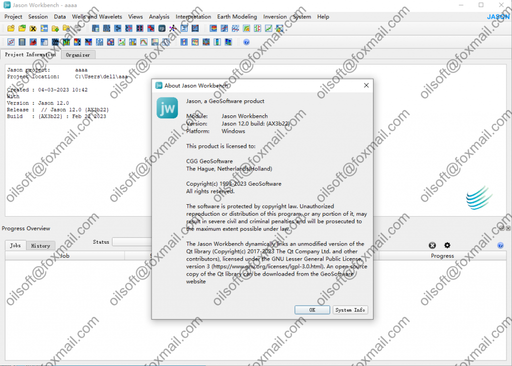
Geosoftware jason 12.0 2023

  • Why Choose
    Jason
  • Optimize your field development, reservoir management and well planning using seismic inversion and reservoir characterization technology from the Jason® software suite. Advanced seismic reservoir characterization workflows within Jason yield timely answers for critical decisions.
    • circle
      Produce a clear view of difficult reservoirs
    • circle
      Define the best drilling and fracturing programs in unconventional shale gas and oil reservoirs
    • circle
      Locate and produce thin reservoirs more effectively
    • circle
      Unravel tuning and AVO effects to map the true geological character of complex reservoirs
发表在 正演反演软件 | 标签为 , , , , , | Geosoftware jason 12.0 2023已关闭评论

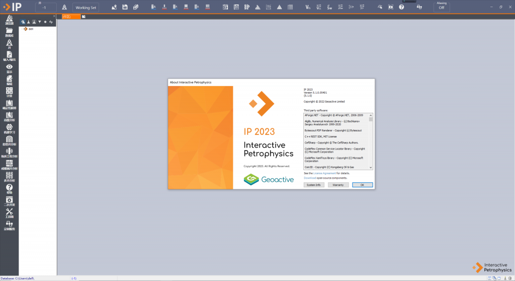
Interoctive Petrophysics 5.1 2023

Available versions: 5.0 , 4.7 , 4.6.2 , 4.6.0 , 4.5 , 4.4

LR’s Subsurface software applications are built on a breadth of experience across each facet of the energy industry. Every day, we apply our independent expertise to help clients increase performance from their upstream and downstream operations and assets. We’re constantly developing and innovating to deliver solutions to the most complex challenges across the lifecycle of any asset.

Interactive Petrophysics (IP) is the best-in-class tool for robust subsurface interpretations. It is stable, and minimises user errors through its interactive graphical interface. Whatever your experience level, IP offers a complete, cost-effective solution enabling thorough analysis for making geological and petrophysical decisions. IP provides you and your team with seamlessly integrated workflows across subsurface disciplines and supports improved reservoir performance throughout the entire assets’ lifecycle.

Rock Physics

Rock Physics offers an innovative way to depth-match bed boundaries and other markers from log traces to real seismic data. By calculating acoustic impedance from density and sonic logs, then combining it with check-shot (VSP) data, Rock Physics creates a Synthetic Seismogram. Using different input data and filters, you can recompute the synthetic trace to optimise the match with seismic.

Modelling fluid saturations is one of the fundamental objectives in Rock Physics. The Rock Physics module allows you to compute the seismic response for each fluid substitution case, including in-situ fluids; permitting in depth analysis of fluid variations and how such changes would be reflected in the seismic.

Curve Prediction

Applicable at any stage of a well’s life, Curve Prediction enables advanced interpretations from minimal source information. Employing several statistical methods, Curve Prediction’s tools help you to generate new curves from offset wells, repair existing data, or even make continuous curves from discrete data.

  • Predict key reservoir properties including porosity, permeability and saturation from log curves and core data
  • Infer missing data or repair incomplete well data from bad hole intervals

Acoustic Waveform Processing

Due to tool limitations and difficult acoustic environments, sonic logs can be challenging to interpret. Yet acoustic data is fundamental to reservoir characterisation. Acoustic Waveforms helps you assess input raw data quality and adjust re-processing parameters to optimise output quality – without long-winded workflows.

  • A complete sonic log processing module designed by experienced industry specialists
  • Rapidly re-process raw waveforms with your own filters and semblance parameters to derive slowness curves
  • QC input data and build confidence in your analysis
  • View each tool mode in detail to differentiate genuine and spurious arrivals
  • Process and interpret any wireline or LWD acoustic log
  • Simple workflows for identifying borehole stress and anisotropy


发表在 钻井测井软件 | 标签为 , , | Interoctive Petrophysics 5.1 2023已关闭评论

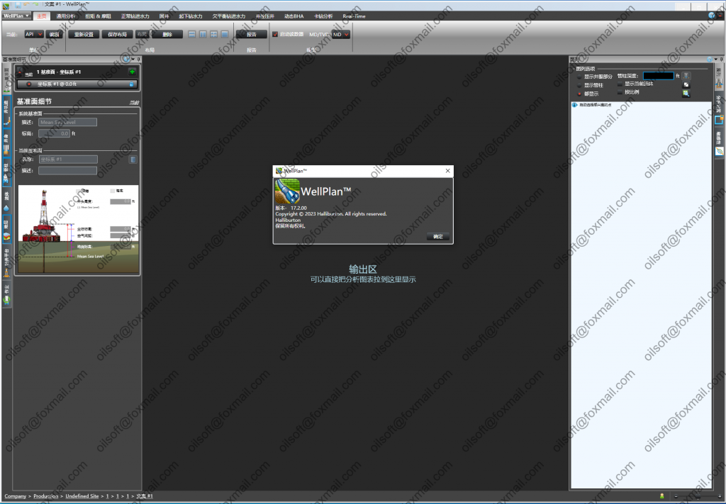
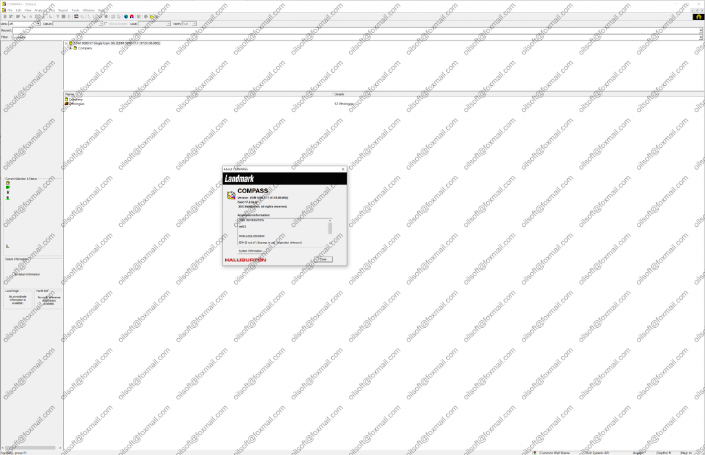
landmark EDT 5000.17.2 2023

Landmark是Holly Burton Drilling and Evaluation的产品,该公司推出了R5000。软件发布与70多种产品的推广同时进行。该软件的推出为石油和天然气运营商提供了前所未有的集成水平。

它包含套管座、套管磨损、指南针、数据分析器、开井、剖面、应力检查、井铸、井成本、井计划

地标性特点:

  • 开放的创新环境:决策空间环境允许您创建一致的Landmark产品和定制应用程序流。使用此版本,用户可以受益于新功能,例如拖放功能和决策空间环境中每个应用程序的共享查看。
  • 简单的数据管理:操作员可以为后代提供跟踪处理,以保留关键信息。
  • Open Works R5000 数据库还集成了 2D 和 3D 地震数据,以提高工作流程的能力。
  • 对卓越科学的解读:大力推广地球科学计划。在专为提高用户探索时工作效率而设计的新功能中,在用于电平解释的 Power View 软件中,新工具允许协作进行良好规划、关键项目捕获和方案信息,在新版 Geo Probe 中,这是业界领先的 3D 渲染和可视化应用程序,用户现在可以直接从 Open Works 访问 2D 数据。
  • 钻井循环和生产率提高:数据输入表单现在与数据紧密匹配,并且可以自定义特定公司所需的营业额。
  • 更准确的库存估算:借助较新版本的Nexus和决策管理系统(DMS),运营商可以更好地减少不确定性,在工作流程规划中结合风险因素和业务目标。

使用 EDM 管理实用程序,EDM 管理员可以从一个集中位置为使用 EDM 数据库实例的所有应用程序配置和实施数据库设置。

可以使用 EDM 管理实用程序执行以下操作:

  • 创建和自定义 EDM 输出报告、系统设置和设备管理集
  • 创建和自定义 Open Wells 经典数据输入表单、所见即所得表单、属性页、预览窗格、报表类型、快捷方式栏和状态颜色
  • 配置 EDM 安全性(SQL Server Express 和 Oracle)、同步活动监视器 (SAM) 和开井结转、作业类型和数据验证
  • 导入和导出源文件、EDM 系统配置文件和 WELLPLAN 工作区
  • 将 DEX™ 数据实体映射到 EDM 数据库表/列
  • 生成 EDM 架构

Landmark is a product of Holly Burton Drilling and Evaluation, which has launched the R5000. Software release simultaneously with the promotion of more than 70 products. The launch of this software offers an unprecedented level of integration of oil and gas operators.

It contains Casing Seat, Casing Wear, Compass, Data Analyzer, Open Wells, Profile, Stress Check, Well cast, Well cost, Well plan

Landmark Features:

  • An open environment for innovation: The Decision Space environment allows you to create a coherent flow of Landmark products, custom applications. With this version, users benefit from new features such as drag-and-drop capability and increased shared viewing for each application in the Decision Space environment.
  • Simple data management: Operators can provide trail processing for future generations to preserve critical information.
  • The Open Works R5000 database also integrates 2D and 3D seismic data for workflow power.
  • Interpretation of the superior sciences: Powerful promotion of earth science programs. Among the new features specifically designed to increase user productivity when exploring, in Power View software for level interpretation, new tools allow collaboration for good planning, critical project capture and scenario information, in the new version of Geo Probe The industry-leading application for 3D rendering and visualization, users can now access 2D data directly from Open Works.
  • Drilling Circulation and Productivity Increase: The data entry form is now closely matched to the data, and the turnover required for a particular company can be customized.
  • More accurate stock estimates: With newer versions of Nexus and Decision Management System (DMS), operators can better reduce uncertainty, combine risk factors and business goals in workflow planning.

With the EDM Administration utility, EDM Administrators can configure and implement database settings for all the applications that use the EDM database instance from a centralized location.

The following operations can be performed using the EDM Administration utility:

  • Create and customize EDM Output Reports, System Settings, and Unit Management Sets

  • Create and customize Open Wells Classic Data Entry Forms, WYSIWYG Forms, Property Pages, Preview Panes, Report Types, Shortcut Bars, and Status Colors

  • Configure EDM Security (SQL Server Express and Oracle), Simultaneous Activity Monitor (SAM), and Open Wells Carryovers, Job Types, and  Data Validation

  • Import and Export source files, EDM System configuration files, and WELLPLAN Workspaces

  • Map DEX™ data entities to EDM database Tables/Columns

  • Generate EDM Schema

  • Edit Lithologies

发表在 钻井测井软件 | 标签为 , , | landmark EDT 5000.17.2 2023已关闭评论

redhat 版本与内核对应

redhat 版本与内核对应

RHEL 9.1          2022-11-15           RHBA-2022:8264          5.14.0-162.6.1

RHEL 9.0          2022-05-17           RHBA-2022:3893          5.14.0-70.13.1

RHEL 8.7          2022-11-09           RHBA-2022:7677          4.18.0-425.3.1

RHEL 8.6          2022-05-10           RHBA-2022:1984          4.18.0-372.9.1

RHEL 8.5          2021-11-09           RHBA-2021:4352          4.18.0-348

RHEL 8.4          2021-05-18           RHBA-2021:1569          4.18.0-305

RHEL 8.3          2020-11-03           RHBA-2020:4495          4.18.0-240

RHEL 8.2          2020-04-28           RHBA-2020:1758          4.18.0-193

RHEL 8.1          2019-11-05           RHBA-2019:3543          4.18.0-147

RHEL 8            2019-05-07                                                    4.18.0-80

RHEL 7.9          2020-09-29           RHBA-2020:3849          3.10.0-1160

RHEL 7.8          2020-03-31           RHBA-2020:1033          3.10.0-1127

RHEL 7.7          2019-08-06           RHBA-2019:2351          3.10.0-1062

RHEL 7.6          2018-10-30           RHBA-2018:3014          3.10.0-957

RHEL 7.5          2018-04-10           RHEA-2018:0700          3.10.0-862

RHEL 7.4          2017-07-31           RHBA-2017:1850          3.10.0-693

RHEL 7.3          2016-11-03           RHEA-2016-2544          3.10.0-514

RHEL 7.2          2015-11-19           RHEA-2015:2461          3.10.0-327

RHEL 7.1          2015-03-05           RHEA-2015:0524          3.10.0-229

RHEL 7.0 GA       2014-06-09                                                3.10.0-123

RHEL 7.0 Beta     2013-12-11                                                3.10.0-54.0.1

RHEL 6.10          2018-06-19          RHBA-2018:1856          2.6.32-754

RHEL 6.9          2017-03-21           RHSA-2017:0817          2.6.32-696

RHEL 6.8          2016-05-10           RHSA-2016:0855-1          2.6.32-642

RHEL 6.7          2015-07-22           RHEA-2015:1423          2.6.32-573

RHEL 6.6          2014-10-14           RHEA-2014:1608          2.6.32-504

RHEL 6.5          2013-11-21           RHSA-2013:1645-2       2.6.32-431

RHEL 6.4          2013-02-21           RHSA-2013-0496          2.6.32-358

RHEL 6.3          2012-06-20           RHSA-2012-0862          2.6.32-279

RHEL 6.2          2011-12-06           RHEA-2011:1743          2.6.32-220

RHEL 6.1          2011-05-19           RHEA-2011:0540          2.6.32-131.0.15

RHEL 6.0          2010-11-09                                                   2.6.32-71

RHEL 5.11         2014-09-16           RHEA-2014-1238          2.6.18-398

RHEL 5.10         2013-10-01           RHEA-2013-1311          2.6.18-371

RHEL 5.9          2013-01-07           RHEA-2013-0021          2.6.18-348

RHEL 5.8          2012-02-20           RHEA-2012:0315          2.6.18-308

RHEL 5.7          2011-07-21           RHEA-2011:0977          2.6.18-274

RHEL 5.6          2011-01-13           RHEA-2011:0020          2.6.18-238

RHEL 5.5          2010-03-30           RHEA-2010:0207          2.6.18-194

RHEL 5.4          2009-09-02           RHEA-2009:1400          2.6.18-164

RHEL 5.3          2009-01-20           RHEA-2009:0133          2.6.18-128

RHEL 5.2          2008-05-21           RHEA-2008:0436          2.6.18-92

RHEL 5. 1         2007-11-07           RHEA-2007:0854          2.6.18-53

RHEL 5.0          2007-03-15                                                   2.6.18-8

RHEL 3 Update 9          2007-06-20          2.4.21-50

RHEL 3 Update 8          2006-07-20          2.4.21-47

RHEL 3 Update 7          2006-03-17          2.4.21-40

RHEL 3 Update 6          2005-09-28          2.4.21-37

RHEL 3 Update 5          2005-05-18          2.4.21-32

RHEL 3 Update 4          2004-12-12          2.4.21-27

RHEL 3 Update 3          2004-09-03          2.4.21-20

RHEL 3 Update 2          2004-05-12          2.4.21-15

RHEL 3 Update 1          2004-01-16          2.4.21-9

RHEL 3 GA                     2003-10-22          2.4.21-4

RHEL 2.1 Update 7          2005-04-28          –

RHEL 2.1 Update 6          2004-12-13          2.4.9-e.57

RHEL 2.1 Update 5          2004-08-18          2.4.9-e.49

RHEL 2.1 Update 4          2004-04-21          2.4.9-e.40

RHEL 2.1 Update 3          2004-12-19          2.4.9-e.34

RHEL 2.1 Update 2          2003-03-29          2.4.9-e.24

RHEL 2.1 Update 1          2003-02-14          2.4.9-e.12

RHEL 2.1 GA                     2002-03-23          2.4.9-e.3

发表在 其它 | 标签为 | redhat 版本与内核对应已关闭评论

Schlumberger Omega 2022.1

The Omega geophysical data processing platform integrates comprehensive workflows and advanced algorithms with leading science, scalable processing, and unparalleled flexibility to unleash the potential of your geophysics data. With its unequaled breadth and depth of capabilities, the Omega platform provides you with the tools needed to solve all your complex geophysical challenges. The advanced workflows and solutions and interactive QC tools address your subsurface challenges along the entire life cycle of a processing project, from signal processing, depth imaging, and reservoir characterization to AVO analysis.
The Omega platform offers an interactive desktop, seismic processing infrastructure, sophisticated data and project management, and a diverse algorithm base to enable seismic data processing from a single workstation to a cluster-processing environment.
The Petrel E&P software platform enables a shared vision of the subsurface from exploration to production. Extend geophysical data processing into reservoir modeling by integrating the Omega platform with the Petrel E&P software platform. Efficiently and accurately solve your subsurface challenges by utilizing leading edge geophysics technology and the powerful combination of the Omega geophysical data processing platform and Petrel E&P software platform.

Some key examples available in the Signal Processing Capabilities suite

Generalized surface demultiples
Advanced interpolation techniques

  • Strong Earth Model Building tools
    • Industry-leading tomography and steering filters
    • High-definition flexible velocity model representation
    • Full anisotropic modeling: vertical transverse isotropy (VTI) and tilted transverse isotropy (TTI)
    • Complex geobody modeling capabilities
    • Interactive localized imaging techniques
    • Integration of seismic data with nonseismic measurements
  • Fully integrated interpretation tools
  • Advanced imaging algorithms
    • LSMi
    • RTM
    • FWI

Learn more about the Omega platform

Key release features

The key usability and technology enhancements of Omega 2022.1 include the following:

Geophysical enhancements

Deblending

  • New seismic function module (SFM) that provides an efficient approach to deblending sources acquired with a simultaneous source acquisition scheme, applicable for any geometry in land, marine, and ocean bottom seismic (OBS)

OVT binning

  • New SFM that provides a simplified workflow to facilitate appropriate hexagonal binning and QC in the case of sparse ocean bottom node (OBN) acquisition

Internal Scattering Interbed Multiple Prediction (ISIMP)

  • New 2D option for Internal Scattering Interbed Multiple Prediction (ISIMP) which can model more complex travel paths than 1D or 1.5D ISIMP options

GSMP

  • Enhancements to general surface multiple prediction (GSMP), including the addition of Obliquity Factor parameterization and improvements in aperture naming scheme

VISTA IVA

  • Many significant improvements in efficiency and functionality for the VISTA IVA 2022 application, including new option to automatically generate on-the-fly brute stack updates

Usability and functionality updates

  • Improved usability and functionality for the SeisFlow, SeisView 2D seismic data viewer and analysis software, Printout Viewer, and Multiple Attribute Display applications
    PSI
  • Prestack Seismic Interpretation (PSI) plug-in for the Petrel E&P software platform has also been updated with the Omega 2022.1 release. Key bug fixes provide improvements in prestack data synchronization, Prestack Window display, and Prestack Mixer Efficiency.

Efficiency updates to Seismic Function Modules (SFMs)

  • The following SFMs have been updated to improve efficiencies and impact TAT
    IRREGULAR_INTERP_AA (MPFI), GENERAL_RADON, and DISK_TO_TAPE.
  • Improved functionality for many seismic function modules includes MOVEOUT, SIMULT_WV_COORD_EST, ROTATE_3C_APPLY, OUTPUT_SEGY.

Users

This suite of tools encompasses the Omega platform and Ocean software development framework plug-ins within the Petrel platform and is designed for users to condition, process, model, image, interpret, invert, and apply AVO modeling on a large or small scale and is applicable to geophysicists and geologists.

Omega地球物理数据处理平台将全面的工作流程和先进的算法与领先的科学、可扩展的处理和无与伦比的灵活性相结合,以释放地球物理数据的潜力。凭借其无与伦比的广度和深度功能,Omega平台为您提供解决所有复杂地球物理挑战所需的工具。先进的工作流程和解决方案以及交互式质量控制工具可解决您在处理项目整个生命周期中的地下挑战,从信号处理、深度成像和储层表征到 AVO 分析。<br>Omega平台提供交互式桌面、地震处理基础设施、复杂的数据和项目管理以及多样化的算法库,以实现从单个工作站到集群处理环境的地震数据处理。<br>Petrel 勘探与生产软件平台实现了从勘探到生产的共同地下愿景。通过将Omega平台与Petrel E&amp;P软件平台集成,将地球物理数据处理扩展到储层建模。利用领先的地球物理技术以及Omega地球物理数据处理平台和Petrel E&amp;P软件平台的强大组合,高效准确地解决您的地下挑战。

发表在 地震资料处理软件 | 标签为 , , | Schlumberger Omega 2022.1已关闭评论

Landmark Promax seisspace 5000.11.0.1

The Seismic Processing and Imaging team at Landmark is happy to announce the release of the 5000.10.0.5 patch version of SeisSpace, Landmark Depth Imaging (LDI) plugin, Multicomponent plugin, Full waveform inversion plugin, Global Geophysical Services (GGS) plugin, and infrastructure.

The Seismic Processing and Imaging team at Landmark is happy to announce the release of the 5000.10.0.5 patch version of SeisSpace, Landmark Depth Imaging (LDI) plugin, Multicomponent plugin, Full waveform inversion plugin, Global Geophysical Services (GGS) plugin, and infrastructure.

This patch provides a number of updates to the SeisSpace processing tool suite to fix some defects that were found in the original 5000.10.0.0 release, and 5000.10.0.1, 5000.10.0.2, 5000.10.0.3, and 5000.10.0.4 patch versions, as well as some fixes from earlier versions.

SeisSpace® ProMAX® software is a comprehensive seismic processing system for large-volume land or marine surveys of 2D or 3D prestack and poststack data.

This system combines analysis tools, geophysical algorithms, and an optimized parallel processing infrastructure to quickly deliver large volumes of processed data. With SeisSpace ProMAX software, you can:

• Derive greater value from your seismic data investment with our 800+ algorithms

• Increase productivity with our optimized volume-processing engine

• Reduce project cycle times with our parallel I/O infrastructure

• Better understand the subsurface and reservoir targets with our modern depth-imaging algorithms and our integration with the DecisionSpace® interpretation system The SeisSpace ProMAX software family includes ProMAX 2D™, ProMAX 3D™, ProMAX 4D™, ProMAX VSP™, and ProMAX Field packages.

Benefits

Understand Your Reservoir

The software allows you to leverage your understanding of the reservoir geology to guide seismic data analysis, parameter selection, and processing workflow design. Hundreds of our state-of-the art algorithms facilitate construction of the optimum seismic image of even the most difficult geologic targets. Seismic Compare and other interactive tools help you better understand your seismic data. Collaboration between the seismic processor and the interpreter can improve understanding of seismic amplitudes and images. SeisSpace ProMAX software provides integration between processing and the DecisionSpace seismic interpretation system, which can reduce reprocessing bottlenecks and enhance the seismic processor’s contribution to the asset team.

More Value from Your Seismic Data

Our powerful flow builder and extensive algorithm suite enables innovative parallel processing workflows, which can quickly extract more information from your data. Our processing engine efficiently handles even the largest acquisition volumes, whether you are processing a modern survey or revisiting the potential of a vintage survey.

Data Integrity in Complex Geology

Our processing tools can nondestructively remove acquisition footprint noise and deliver precise data given today’s complex acquisition parameters. Our acquisition design tools for complex geology help ensure that you are acquiring the right data to image the subsurface with confidence. Our 5D interpolation and regularization tools allow for geologically reasonable filling in of acquisition gaps in x, y, z, offset, or azimuth space.

Production Throughput and Productivity

By leveraging the economies of scale in IT infrastructure advancements, our high-performance computing (HPC) processing infrastructure can maximize seismic processing throughput with data I/O rates of several Gb per second per HPC disk appliance. This enables you to decide your throughput simply by configuring your CPU, network, and disk appliances.

发表在 地震资料处理软件 | 标签为 , | Landmark Promax seisspace 5000.11.0.1已关闭评论

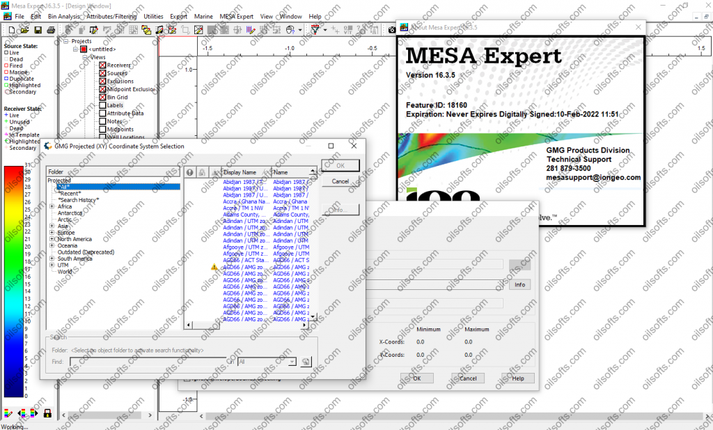
Greenmountain MESA16.3.5

MESA 16.x Release Notes

Welcome to MESA Version 16.3.  There are a few important changes (highlighted in red) that you should read.  

1. There are some database format changes for MESA Version 16.2 projects.  Once a project has been saved in Version 16.2 you should not re-open projects in earlier versions of MESA or you will risk corrupting your projects.

2. The colorscales and configuration files are now installed in C:\ProgramData\GreenMountain\colorscales and C:\ProgramData\GreenMountain\config respectively.  The first time that MESA 16.2 is launched, the user preferences will be updated to point to the new colorscale and configuration file directories.  If you have custom colorscales or configuration files, you can either reset the user preferences to their previous locations or you can copy your custom files to the new directories.

3. The release notes will appear when you start MESA as long as Display Release Notes on Startup is set to Yes in the user preferences.  The user preferences are also used to set the default data directory for MESA projects.

Version 16.3.5 Enhancements and Fixes

1. Fixed an issue with the calculation of inverse templates (sources firing into a given receiver).  This solved potential problems transferring MESA geometries to Gator.

Version 16.3.4 Enhancements and Fixes

1. Improved the performance of the Bin Attribute Analysis window.

2. Fixed multiple issues with elevations, shot depths, receiver depths, and water depths when exporting marine geometries to SPS.

Version 16.3.3 Enhancements and Fixes

1. Fixed an issue with inverse templates not exporting to Marlin properly.

Version 16.3.2 Enhancements and Fixes

1. Added an option for decimating hydrophone positions in the P1/90 offshore export.

2. When importing xy-coordinate information from external ASCII files, there is now an option to handle situations where the file is missing coordinate data for one or more stations.  You now have the option to temporarily assign a coordinate of (0,0) for any missing data in the file instead of simply cancelling the import.

3. Fixed a display issue in Edit Templates mode in which the last source in the project could not be selected to view its template.

4. Fixed a problem reading in P1/90 files from simultaneous shooting geometries.

5. Fixed an issue with the persistence of the number of station number digits when exporting MESA geometries to SimSurvey and Marlin.

6. Fixed a problem with the calculation of hydrophone positions when creating towed steamer geometries by shooting existing marine sail polylines.

7. Fixed an issue in which some source points weren’t getting re-assigned cable configurations when re-shooting existing marine surveys.

8. Added the numbering options dialog box to the marine sail line generation tool.

9. Added an option to the SEGP1 and SPS export dialog boxes for resetting the filename prefix to the name of the currently loaded database.

Version 16.3.1 Enhancements and Fixes

1. Fixed a problem loading pre-version 16 MESA databases as additional projects.  There was an inconsistency with the format of the stored datum transformation which prevented additional projects from being loaded simultaneously.

2. Added the run in/out capability for geometries created using marine sail polylines.

3. Rotation/translation functions are now accessible prior to the creation of sources and/or receivers.  Previously, a project needed sources or receivers for the translation options to be active.

4. Added support for reading receiver attributes from Gator version 2.0 MFA files.

5. Fixed an issue launching SimSurvey when special characters are included in the path name.

Version 16.3.0 Enhancements and Fixes

1.  MESA now includes WMS data from OnTerra-MapSavvy.  This service includes Bing Maps and Here Maps data layers. 

2.  Fixed a screen updating problem when zooming the Design Window with a WMS layer displayed.

Version 16.2.0 Enhancements and Fixes

1. Added a feature to the anchor picker dialog box.  Previously, if you were filling a polygon with receivers, you could select existing exclusions or existing sources as an anchor point.  You can now also use existing receivers as an anchor point.  This is useful if you are laying out receivers in multiple passes to create a project with variable point densities and need to line up receiver lines/points with previously created lines.  This feature also works for source lines. 

2. Added a new source/receiver editing mode that operates on points inside a selected exclusion zone.  The primary goal was to provide an easy way to delete points inside an exclusion zone, however, there are additional modes for turning points on/off, snapping points to a grid, modifying instrument settings, and removing the template assignments of points inside an exclusion zone. 

3. The grid-based renumbering tool has been overhauled.  There is now a cartoon display that shows the orientation and numbering pattern that will result from the current parameters.  There is also a function for resorting and reordering the lines after performing the renumbering of the points.  This is useful for surveys which have been created in multiple passes (or file imports) and you need to stitch lines together.  The previous function for reordering lines is still available in the View/Reorder Lines tool.

4. There is an export tool for P1/11 files (Version 1.1).  This tools allows the editing of individual header records and the export of source/receiver position records and relational records.  Source and receiver attributes can be added to the source and receiver position records.  Blocks of header definitions can be saved and re-used. 

5. Updated the exclusion fill layout tools so that you can fill multiple exclusions with source/receiver lines and simultaneously not fill other exclusion zones.  This is useful if you are creating a project with variable point densities in different regions. 

6. In Edit Templates mode, there are now options for viewing all of the active receivers for a selected source and for viewing all of the sources that fire into a selected receiver. 

7. Added an option to the source editing toolbar for removing the marine source flag from a towed streamer source.  This works in point, line and group modes.  There can be situations where marine source points get created or imported from P1/90 files but the user actually wants to use the source locations for fixed receiver shooting instead of for towed streamer shooting.  This allows the user to “convert” the marine source points into sources that can shoot into OBS receiver geometries.

8. Elevation GeoTIFF files can be converted into Slope GeoTIFF files. 

9. Elevation GeoTIFF files can be exported as slope data in ASCII format. 

10. Added a feature to create the “line position” for sources created with dual, triple, or greater shooting configurations.  In addition to the actual source location, an alternative coordinate (named “line position”) which represents the source projected onto the sail line can also be stored.  This feature has been added to Lines/Bricks, Zig-Zag, and Marine Sail Line creation.  For some calculations, such as fold calculation, the actual source location may be desired,  For other calculations, such as line length, the line position coordinate may be more useful.  Use the Alternative Coordinates Window to swap in/out the set of coordinates you wish to use for a given program function. 

11. Marine sail polygon-type exclusions can now be used as fill boundaries for the land layout tools (lines/bricks, zig-zags, etc.)

12. Added an option to create run-in shots in the sail line generation dialog box. 

13. Added an option to the P1/90 offshore export interface for exporting source points not flagged as towed streamer source points.  This is useful if you want to export the source locations for an OBS geometry in P1/90 format.  Note–the locations of the nodes are not exported, only the source locations. 

14. Added fractal interpolation and kriging options when importing an ASCII file for generating a data raster file (GeoTIFF). 

15. Expanded KMZ output options to export the currently displayed bin attribute diagram and added many new options for parameterizing the color scale. 

16. Added an option to export the currently displayed source and receiver attributes to a KMZ file. 

17. Added an option to select multiple marine sail polylines when generating marine shot points.  Previously, the choice was to sail one line or all lines.

18. Added an option create marine sail polylines from existing source points.  One common use case is if the flip-flop parameters were used to create the source positions for an ocean bottom survey but you then later wanted to have marine sail polylines to represent the path of the vessel.  Another case is if you imported the source positions from an external file and need a way to generate the marine sail polylines.

19. New options have been add to the exclusion zone resizing tool.  There are now three options for changing the shape of the expanded polygon to have squared, mitered, or rounded edges.

20. Improved the speed of loading data into the Alternative Coordinates Windows. 

21. Improved the speed of unshooting very large surveys. 

22. Improved the layout speed when using the polygon fill option in Lines/Bricks, ZigZag, Button and Radial layout options. 

23. Fixed a drawing issue when using the option to draw connecting lines between receivers or sources. 

24. Fixed an issue creating CSV output from the Alternative Coordinates window. 

25. Fixed an issue with not being able to perform undo/redo functions after doing a resort of lines based on point numbers. 

26. Improved the speed of entering Edit Templates mode on large surveys. 

27. Fixed an issue with the line name prefix and suffix not getting updated during grid-based renumbering. 

28. Several temporary files were being inadvertently left in the data directory after closing MESA. 

29. Fixed an issue with the visibility state of individual exclusion layers getting out of sync.  

30. Fixed an intermittent crash when laying out marine sources along existing sail polylines. 

31. Fixed a crash in the marine sail lines dialog box.  If a user accessed this dialog box, closed it, and then created new marine polygons or marine sail lines, this dialog box could crash upon re-opening. 

32. Fixed a bug trying to graphically rotate exclusion zones. 

33. Fixed a problem opening MESA databases created prior to version 14.1.  These databases could crash v16.x depending on the selected map projection.  

34. Operation names in the Export to Marlin interface are now sorted alphabetically. 

35. User settings in the Export to Marlin interface are now persistent and saved with the user settings. 

36. Additional swath export options were added to the Export to Marlin interface.

37. P1/90 offshore import will import source positions from the file without or without cables defined. 

38. Fixed an issue with the attribute crossplot not displaying if receiver index or line index were being used for the x and y axes. 

39. Fixed an issue with alternative coordinates getting orphaned if a new set of marine source points was created as a replacement for existing marine source points. 

40, Fixed an issue with improper drawing of direct P and direct S raypaths in the 3D window. 

41. Fixed an issue loading TIFF files that have extra samples per pixel. 

42. Fixed a drawing issue with illumination rays leaving the model space in the 3D window.

43. Improved the speed of loading marine statistics. 

44. Improved the speed of compacting marine streamer data files when saving a project.

45. Fixed an issue with datum transformations not being stored properly.  This is one of the database changes that is not backward compatible.  After saving a project using v16.2, you should not re-open the project with earlier versions of MESA.

46. The Unit Template window can now be launched from the main toolbar in the Design Window or by right-clicking on Shooting Configurations in the Project Tree and selecting Open Unit Template Window from the popup menu.  These changes were made to make access to the tool more apparent.  The Unit Template Window can still also be accessed from the Edit menu.

47. Fixed an issue reading in the last well curve in a well set.

48. Removed an erroneous “END” card that was getting written to the last line of the XYZ export data file for model horizons.

49. MESA now exports towed streamer and hybrid towed streamer + node geometries to SimSurvey. 

50. Fixed an issue reading in Gator MFA files in which line length exceeded 4096 characters.

Version 16.1.6 Enhancements and Fixes

1. Made a fix to WMS requests to preserve all parameters, such as authentication keys. 

Version 16.1.5 Enhancements and Fixes

1. Fixed an issue with plots resetting min/max values for color scale ranges.

2. Added a skew option for rectangular shooting that facilitates “H” style shooting.

3. Fixed a bug with exporting line names from MESA to SimSurvey.

4. Fixed a bug with alternative coordinate importing when the receiver lines in the project are not ordered sequentially.

5. There are new tools for renaming source/receiver attributes and merging multiple attributes into a new attribute.

Version 16.1.4 Enhancements and Fixes

1. Fixed an issue with hardcopy printing of ShapeFiles that contain elevation data.

2. Modified line/station data that gets exported to SimSurvey.

3. Fixed an issue with the color scale defaulting improperly when exporting fold displays to KMZ.

Version 16.1.3 Enhancements and Fixes

1. Unused templates are no longer exported to Marlin or SimSurvey.

2. Fixed an issue related to Blue Marble licensing

3. Changed the SPS header card containing the datum transform to use units of arc seconds.

Version 16.1.2 Enhancements and Fixes

1. Added vessel and airgun IDs from P1/90 import to MESA marine shot points.

Version 16.1.1 Enhancements and Fixes

1. Fixed a checkbox bug in the interface for transferring a MESA geometry to SimSurvey.

2. Fixed an issue in which the flip flop layout was incorrectly culling out points that fell outside of a boundary polygon.

3. Fixed an issue with polygon fill layout methods leaving an unwanted gap in the certain lines.

4. Fixed a crash in the GeoTIFF resampling routine.

5. Fixed an issue exporting geometries to NORSAR when the project has multiple marine configurations.

6. If a MESA towed streamer geometry contains a feather angle, the geometry will be converted into a geometry with individual hydrophone positions when exported to NORSAR.

7. Fixed a performance issue decimating the vertices on a large group of sail polylines.

Version 16.1 Enhancements and Fixes

1. Added a decimated layout tool to the Lines/Bricks layout.  This new option applies a “jitter” to the line layout in which gaps are randomly inserted into the lines in the inline direction.  The gaps are constrained so that the maximum inline gap size is controlled, as well as the number of consecutive maximum size gaps.  There is also a crossline constraint so that the number of gaps in the crossline direction can be controlled.

2. A decimation function has been added to the Utilities menu.  This tool has four modes for removing sources and/or receivers from the project.  The first mode will randomly remove a percentage of points.  The second mode will randomly remove a fixed number of points from the project.  The third mode will randomly keep a fixed number of points in the project.  The fourth mode will remove every nth point along each line.

3. The randomization utility has been updated from a simple randomization in the x and/or y direction.  There are now options for randomizing source and receiver positions based on the inline/crossline bearings of a bin grid, the receiver design grid, or the source design grid.  In addition, the randomization function will optionally snap points to grid lines.  As part of this feature update, MESA is now using a higher quality randomization function than in previous releases.

4. MESA 16.1 allows access to streaming satellite imagery, topographic maps, and hillshade imagery provided by Airbus.  In order to access the imagery from Airbus, the MESA license must be on active maintenance.  If your MESA license is not currently active on maintenance, you can still access WMS data through your own link to a different server.

5. An anchor point selection tool has been added to the layout dialog boxes.  The anchor point tool allows you to fine tune the location of source and receiver lines when filling regions.  This tool will allow you select a vertex from an exclusion zone to use as a positioning anchor point or you can select an existing receiver(source) location as a positioning anchor.

6. Fixed a problem with Unicode characters in the name of the project path.

7. Fixed an issue with slow import of P190 files.

8. Fixed a display issue with the color of certain TIFF files.

9. Fixed a TIFF import issue with files downloaded from the USGS TopoView website.

10. Fixed an issue with the flip-flop source separation parameter not honoring decimal points in the Lines/Bricks Layout dialogs.

11. Fixed an issue with exporting Pattern files (.ptn) using small surveys.

12. Fixed an issue with MESA crashing when performing an undo of source attribute assignment in line and group modes. 

13. Fixed an issue in which the loaded map projection was lost if a user canceled out of opening a new project.

14. Fixed an issue with writing MESA projects to network drives. 

15. Fixed a problem with negative velocity gradients in Model Builder.

16. Fixed a display problem in the Incidence Angle Window.  Amplitudes and travel times are now properly colored according to the color scales. 

17. Fixed a problem changing the color scale when displaying the results of illumination raytracing. 

18. Fixed differences between the Expert CRP fold display and the CRP fold calculation display that resulted from significant figure differences between the bin grid origins for the two calculations. 

19. Model-based Expert attributes were previously based on the maximum horizon dip and the horizon dips in the x and y directions.  The maximum horizon dip option is still available, however the x and y dip attributes have been replaced by an apparent dip option and the user can now calculate model attributes along any bearing. 

20. Fixed an issue with stretch mutes not being properly applied to CRP attribute calculations from raytracing results.

21. Removed an unnecessary time stamp element in KMZ output that added a time slider to Google Earth displays. 

22. Fixed a crash when accessing the shooting detail for a salvo shooting configuration.

23. Fixed a drawing issue with range/bearing symbols.

24. Changed WMS image drawing to work on a background thread for better performance.

25. Fixed an issue creating exclusion zones from DXF or VYR files.

26. Fixed an issue with certain single station edit modes that could lead to crashes. 

27. Fixed an issue outputting marine sail polylines to KMZ format.

28. Added an option to the MESA export to SimSurvey that will consolidate duplicate source points into a single source location in the SimSurvey project.

29. Fixed an issue with the Marlin and SimSurvey export functions so that they work with sorted and unsorted source record numbers.

30. Fixed a bug selecting duplicate source locations when non-duplicate sources are filtered off.

31. Fixed a bug with the total traces count in the Bin Statistics window.  The count was incorrect for surveys with 4B+ traces.

32. Fixed a bug exporting template information from the Edit Template toolbar.

33. Modified the default data directory for Gator attributes to be the default data directory instead of the current working directory.

34. Screenshot settings are now getting saved to the user preferences.

35. Fixed a crash during map projection translation when receivers lines have different lengths.

36. Fixed a crash when saving projects using ED50 map projection.  This was due to datum transformations that can not be properly converted to WKT. 

37. Fixed a problem with the NORSAR geometry export not transferring feathered streamer locations. 

38. Improved the polygon fill logic for including points that fall directly on rotated boundaries.

Version 16.0 Enhancements and Fixes

1. A feature was added to create polygonal exclusion zones based on slopes derived from GeoTIFF files containing elevation data.  Users can specify a slope threshold in either degrees or percentage.  Each data point in the file is analyzed from multiple azimuths to calculate the maximum slope at that location.

2. There is a new shooting mode for adding fixed receivers to a towed streamer geometry.  If you have a marine towed streamer design and wish to have the sources also fire into either ocean bottom nodes or cables, this feature will allow you to create merged shooting templates.  You can also import P190 files with a towed streamer geometry and add nodes or bottom cables to the template.

3. Three new colorscale files were added to the installation.  These files are named cividis.csi, viridis.csi, and inferno.csi.  These colorscales were added for two reasons:  Helping users with red-green color blindness and providing an alternative to the default rainbow colorscale.  Recent research has shown that colorscales which increase linearly both in hue and brightness are easier to interpret for those with red-green color blindness.  Additionally, the same research has suggested that rainbow colorscales can lead to incorrect interpretation of data by artificially inserting hard color changes into maps.  The same linear increase in hue and brightness that helps those with color blindness can actually improve the perception of those without color blindness as well.  The new colorscales have the following color schemes:

cividis.csi – Navy blue on the low end increasing to bright yellow on the high end

viridis.csi –  Deep indigo on the low end, teal in the middle range and bright yellow on the high end

inferno.csi – Black on the low end, red-orange in the middle range and bright yellow on the high end

By default, these colorscales will be installed in C:\ProgramData\GreenMountain\colorscales.  However, if you have an existing MESA installation, you will have User Preferences set to a different colorscale directory.  The installation program overrides the User Preferences the first time MESA 16.0 is launched.  In order to use your previous colorscales, you will have to update your User Preferences to point to C:\ProgramData\GreenMountain\colorscales15 (or \colorscales14).

4. The label shooting interface has been greatly enhanced to handle more types of geometries.  Instead of an inline and a crossline roll instruction, there are now two roll instructions which are independent of line direction.  This allows users to shoot a variety of geometries in which source lines can be parallel or perpendicular to the receiver lines.  The roll preview functions have been improved and a function was added to change the location of the starting patch.

5. A tool was added for analyzing 4D attributes.  This tool allows users to compare the bin attributes from two surveys, match traces in specific offset ranges, and display a variety of standard 4D attributes (delta-source, delta-rec, delta-source+delta-rec, delta azimuth, and the inline and crossline components).  These attributes can also be analyzed in the histogram window.  In addition, the Alternative Coordinates window was upgraded to calculate inline and crossline offset differences so that 4D attributes can be analyzed from geometry differences alone instead of matching traces in the bin attributes.

6. A tool was added for creating marine detours around platforms.  This tool is on the exclusion editing toolbar and can be used to create either close pass detours or to terminate sail polylines as dead heads. 

7. An interface for exporting MESA projects to MESA’s SimSurvey time and motion analysis module was added.  This allows users to create an ocean bottom geometry in MESA and run scenarios in SimSurvey to calculate the most cost efficient and time efficient deployment scenarios.

8. An interface for exporting MESA projects to ION’s Marlin simultaneous operations management module was added.  This allows users to create a marine/OBS geometry in MESA and initialize the simultaneous operations tracking in Marlin.

9. A new type of offset histogram was added to the bin attribute offset diagrams.  Offset bars can now be colored according to azimuth from 0 to 360 degrees. 

10. Added an option for creating triple source flip-flop geometries to the line/brick layout options for sources and receivers. 

11. Added an option for creating flip-flop and triple source patterns to the circular source layout in the Unit Template Window. 

12. An xy-shift option was added to the translation/rotation utility.

13. Added a selection mode to the bin contribution tool that allows the user to select all bins which fall inside of an exclusion zone.

14. A feature was added that will normalize NORSAR hitmap attributes to use the same CMP bin grid size as used in MESA. 

15. The NORSAR interface has been enhanced.  In version 15.2, NORSAR grid-based raytracing attributes could be imported into MESA for analysis. In version 16.0, there is a new format of NORSAR attributes that can be imported–point attributes.  These attributes are imported as source and/or receiver attributes.  This type of attribute can be displayed in map views, in histograms, in attribute crossplots, and in pie charts.  These attributes can also be used in filtering operations, which makes it easy remove sources and receivers which are not contributing to the illumination of a target. 

16. Added a feature to change units from ft->m or m->ft during the rectification of GeoTIFF files.

17. Added an option to change the line thickness of polylines or polygons loaded from Shapefiles. 

18. The translation/rotation utility is now available for towed streamer marine projects.

19. There is a new export option in the Shapefile Output for writing the active bin grid to a Shapefile. 

20. The option for exporting source/receiver polylines in the Shapefile Output will now write out the source/receiver line name as the label value in the exported Shapefile. 

21. A feature was added to decimate vertices in an exclusion zone.  This can be necessary when you have created exclusion zones by importing external data or created exclusion zones by calculating slopes from elevation data and have numerous colinear or near-colinear points.  If exclusion zones are unnecessarily oversampled, it can severely affect the performance of exclusion-related functions–especially for surveys with a large number of sources/receivers. 

22. Added P10 and P90 percentile calculations to the Histogram Window.

23. Fixed a colorscale problem with bin attribute diagrams in the 3D window

24. Fixed an issue with the default screenshot directory not being set properly prior to saving a project for the first time.

25. On startup, MESA now checks for a valid, writeable GMG_DATA_DIRECTORY data folder.  If MESA doesn’t find a folder the user is now presented with an option to select a directory or quit.

26. Fixed an issue with editing and applying changes to floating point logarithmic color scales.

27. Added a file header check so that incorrectly formatted JPEG files won’t cause MESA to crash.

28. Fixed an issue with the exclusion repel function not working properly after multiple undo/redo events.

29. Improved the performance of the group move function on projects with large numbers of sources/receivers.

30. Fixed an issue in line editing mode in which points were snapping to the wrong grid line.

31. Fixed a display issue in the bin statistics report in which average fold values were getting clipped.

32. Fixed an issue with filtering on instrument types not working properly. 

33. Fixed an issue with fold calculations.  If a project had more than 2.1 billion traces and the user’s computer had more than ~60GB of RAM, fold calculations would crash or produce an empty file.

34. Fixed an issue with temporary bin and midpoint files not getting removed properly.

35. Fixed an issue with the shot point consolidation routine skipping certain source points. 

36. Improved the speed of bin grid generation for large marine surveys. 

37. Fixed an issue where filling a polygon with marine sail lines would sometime result with an occasional source line dropping the last source point on the line.

38. Added a check to the Smart Aperture tool so that the maximum incidence angle is equally divisible by the polar angle interval. 

39. Improved the performance of large copy and paste operations in the source and receiver spreadsheets.

40. Added the number of live sources to the header records of the MESA ASCII Pattern output file. 

41. Added an option to the Gator attribute import function.  Users can now use either the “Line Name” or “Preplot Name” fields in Gator attribute files to match line names in the MESA project. 

42. Fixed a problem with towed streamer geometries with streamer depths not producing rays for certain models during raytracing. 

43. Fixed an issue changing the line name in the spreadsheets if the line name started with the same digit as the point index.

44. The free WMS imagery available through Digital Globe’s Spatial on Demand 5.0 is no longer available as of Jan 1, 2019. 

45. Fixed an issue with the drawing of dynamically sized labels for Shapefiles. 

46. Fixed an issue with selecting Save As from the Project Tree behaving differently from selecting Save As from the File menu.

47. Custom WMS addresses can now be saved to the global defaults xml file and re-opened in new projects.

48.  Upgraded to Blue Marble version 7.4 map projection libraries.  Included in this upgrade is the ability to access the Blue Marble projection editing interface for creating/modifying custom map projections.

49. Fixed an issue with integer numbers being incorrectly parsed by the LAS well log import tool.

50. Fixed an issue in which the last segment of the well trajectory was not appearing in the Design Window.

51. Fixed an issue in which vertical stations were being placed at elevation intervals instead of using distance along the borehole. 

52. Fixed an intermittent crash that occurred while importing string attributes.

53. Fixed an issue with defining source instrument types.  When called from certain layout tools, the interface for defining receiver instruments was opening instead of the interface for defining source instruments. 

54. Fixed an issue importing source depth from SPS files. 

55. Fixed an issue with the SPS update function.  The “attribute to set on import” option was not properly updating string attributes. 

56. Fixed an issue reading line numbers in the Gator attribute import function.  

57. A control was added to the Gator attribute import function that hides the quality attributes from the list of available attributes. 

58. A control was added to the Gator attribute import function to specify the number of digits in the station number. 

59. If the number of marine source points is modified in a project that has previously been saved, a new prompt will appear when saving the project.  This prompt will ask if you wish to run a compaction procedure on the file that stores the marine receiver locations.  Previously, this compaction procedure was performed automatically to save disk space.  However, the procedure can take a long time so now the user is prompted whether to perform the compaction or to skip the procedure. 

60. Fixed an issue in the ASCII import window in which the window kept scrolling back to the first line of the file.  It will now stayed fixed on the defined first data line in the file. 

发表在 其它, 地震资料采集 | 标签为 | Greenmountain MESA16.3.5已关闭评论

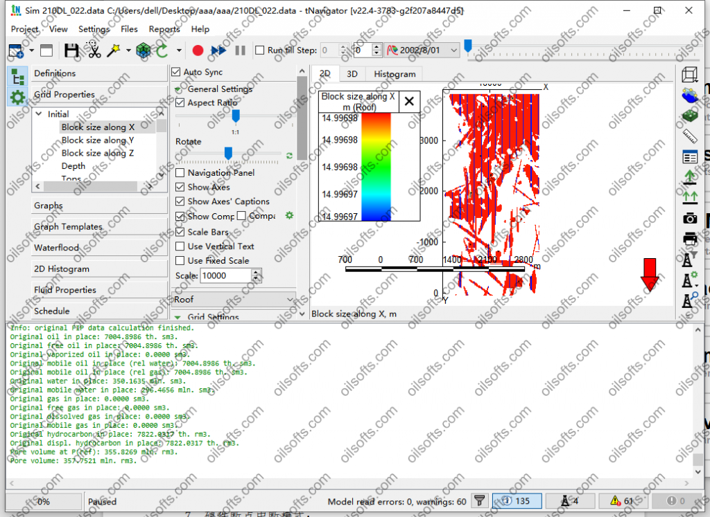
tNavigator 2022.4

tNavigator是一个完整的软件系统, 允许您在单个界面内创建油气藏的静态和动态模型、执行
模型模拟、不确定性分析、地面管网建立。所有tNavigator模块用共同的内部数据存储系统, 计算
引擎用所有可用的计算能力保证并行计算, 通用输入/输出数据格式和用户图形界面。tNavigator支
持METRIC, LAB, FIELD单位制。
tNavigator用C++开发的跨平台软件。该软件可以安装在Windows、Linux 64位操作系统上, 用在
具有共享或分布式内存的系统上。以便在图形界面中舒适地工作建议使用全高清(1920×1080)分辨
率。tNavigator的地质建模, 模型设计, PVT设计, 井设计, 地面管网设计和图形界面模块仅在专业显示
卡上支持 (NVIDIA Quadro 和 High End 显示卡). 我们不建议使用内置显示卡。 tNavigator可用作既
控制台版本, 又可用作带图形界面(本地或远程的)的版本。模拟可以在工作站和集群中进行。也提供
云计算解决方案, 通过远程桌面提供完整的用户图形界面功能。
tNavigator的内置帮助适用于Adobe Acrobat Reader®和 KDE Okular®程序。要选择PDF查看器,
请在tNavigator主窗口中单击设置 → 选项 → 路径 。
tNavigator包含15个独立许可的功能模块:
• 地质建模;
• 地震;
• 地质导向;
• 模型设计;
• 地面管网设计;
• 井设计;
• 物质平衡;
• PVT设计;
• 压裂裂缝模拟器;
• 相对相对渗透率设计;
• 黑油模拟模块;
• 组分模型(模拟模块);
• 热采(模拟模块);
• 智能历史拟合(智能历史拟合, 优化和不确定性分析);
• 图形界面.

发表在 其它, 数值模拟软件 | tNavigator 2022.4已关闭评论

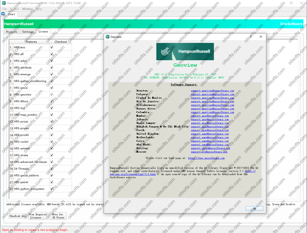
GeoSoftware HRS 13.0 2023

  • Why Choose
    HampsonRussell
  • Reduce the risks and costs associated with exploration and production with world-class advanced geophysical interpretation and analysis from our HampsonRussell software.

    This comprehensive suite of reservoir characterization tools integrates well logs, seismic data and geophysical processes into an easily navigated, intuitive package for fast results. Known for its ease of use, HampsonRussell makes sophisticated geophysical techniques accessible.
    • circleExperience powerful speed improvements for your processing projects with multi-node processing
    • circleGet the flexibility to design and code any process with the Python ecosystem while taking advantage of the HampsonRussell project structure and data access
    • circleQuickly import and use shapefiles
    • circleWork with your AWS and Microsoft Azure cloud data
发表在 其它, 地震资料解释软件, 正演反演软件 | GeoSoftware HRS 13.0 2023已关闭评论

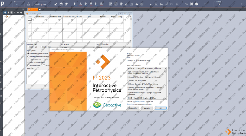
IP 5.0 2023

IP: Interactive Petrophysics.

By upgrading or installing IP 2023, you can enjoy a host of new benefits to improve your day-today working. It gives you more options and multiwell workflows than ever before. The new WITSML module will provide up to the minute understanding of what your wells are logging, allowing you to make fast and effective decisions during drilling. The additional Carbon/Oxygen Sw Analysis Module opens up a deeper understanding of the fluids encountered behind casing in mature wells. The general improvements include additional log plot interaction as well as expanding and clarifying the interface. The additions to the Geomechanics Advanced module and the Image Analysis Module have included more multi-well and interactive control. As always, any new release includes a range of workflow improvements to allow for faster analysis while remaining robust.

Build deeper understanding by collaborating with your team easily.

Maximise economic potential of mature wells… The new Carbon/ Oxygen Sw module allows you to identify and interpret fluids behind casing. This is particularly useful in reservoirs of low or unknown water salinity. It allows timely and confident decision making to ensure continued ecomonic return from mature wells.

Faster and easier data preparation and Improved useability Improved visualisation and additional interactivity across the board, including depth shift on lot plots, allows you to see and modify where new data impacts your interpretations. New search function and more visual icons on menus make finding your tools easier than ever.

Improved Connectivity to live logging jobs The new WITSML module allows you to connect to any data server you have access to to pull in real-time drilling data, curves and trajectories. Setting automatic time intervals ensures only the most recent data is used. This ensures the most up-to-date understanding of your data aquisitions.

Increased confidence in well stability Extending the plotting options for the geomechanics module, integrating it into Monte Carlo module and new interactive multiwell Pore Pressure functionality give improve clarity and confidence to your Well Stability workflows

发表在 绘图成图, 钻井测井软件 | IP 5.0 2023已关闭评论

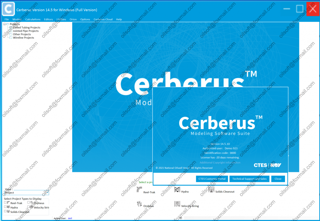
Cerberus 14.5

发表在 采油试井压裂 | 标签为 , , , | Cerberus 14.5已关闭评论