

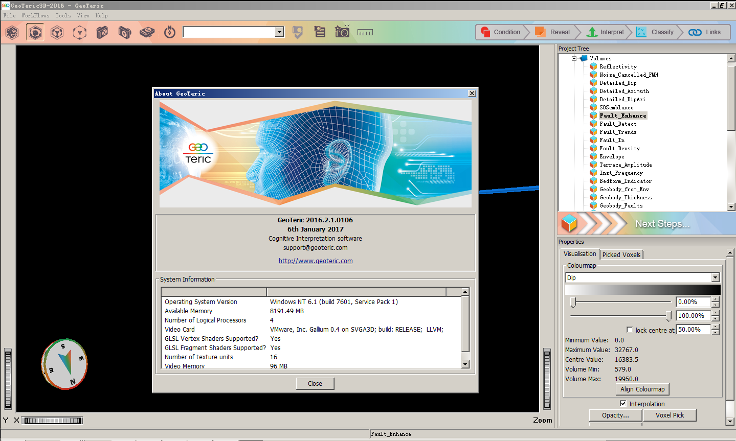
NORSAR-3D
NORSAR-3D is the most advanced product on the market for seismic illumination studies andВ model-based survey evaluation and analysis.
NORSAR-3D Seismic Modelling Basic
NORSAR-3D Basic is the product of choice for quick subsurface coverage and illumination
analysis. The NORSAR-3D Basic provides comprehensive information about the coverage ofВ subsurface targets, ranging from overview maps of the entire target area to detailed analysis ofВ angular and azimuthal coverage of selected points of interest. The studies can be surveyindependent,В providing the upper possible illumination limit, only restricted by the subsurfaceВ properties; or the illumination capabilities can be studies for a specific survey.В In NORSAR-3D Basic the subsurface models have a quite simple structure, and the models are
very easy to define. Still NORSAR-3D Basic covers a wide range of subsurface models commonlyВ found in illumination studies.В The two main types of results made in NORSAR-3D Basic are the Illumination maps (IMAP) andВ the Illumination rays (IRAY). The Illumination maps give the overview, while the Illumination raysВ provide more details.
NORSAR-3D Seismic Modelling Pro
NORSAR-3D Pro grants a user-friendly application driven modelling package for seismic
illumination studies including amplitudes and model-based survey evaluation and analysis. ItВ contains a comprehensive model builder allowing complex subsurface structures includingВ heterogeneous and anisotropic elastic parameters.В NORSAR-3D Pro contains all features from NORSAR-3D Basic.
NORSAR-3D Seismic Modelling Expert
NORSAR-3D Expert is a complete package for in-depth seismic illumination studies and modelbasedВ survey evaluation and analysis. It is the best in class ray tracing tool available in the marketВ with unlimited batch processes, a Kirchhoff Target Migration workflow, extended exportВ functionality and access to the software application toolkit.В NORSAR-3D Expert contains all features from NORSAR-3D Pro and NORSAR-3D Basic.
SeisRoX
SeisRoX is a flexible, efficient and easy-to-use seismic modelling software which rapidly calculatesВ the seismic response of geological reservoir models while at the same time simulating the effectsВ of complex 3D overburden and source-receiver illumination/resolution effects.
SeisRoX Basic
SeisRoX Basic consists of the Local-target PSDM Simulator, Analytic PSDM Filter and UtilityВ workflows.
SeisRoX Pro
In addition to all workflows included in SeisRoX Basic, the SeisRoX Pro version also consists ofВ the Full-field PSDM Simulator and Rock Calibration workflows.
MDesign
The NORSAR MDesign software allows the user to define various sensor network configurationsВ and compute and interpret the detectability and location uncertainty for a user-defined velocityВ model.
MDesign Basic
The MDesign Basic version consists of the Detectability and Location uncertainty workflows.
MDesign Pro
The MDesign Pro version offers in addition to the Detectability and Location uncertainty workflowsВ also the Focusing workflow.
GeocyberиҪҜ件жҳҜз”ұGeocyberпјҲжқ°еҘҘдё–еҚҡпјүе…¬еҸёз ”еҸ‘пјҢеҹәдәҺеӨҡеӯҗжіўең°йңҮйҒ“жЁЎеһӢпјҢд»ҘеӨҡеӯҗжіўеҲҶи§ЈеҸҠйҮҚжһ„дёәж ёеҝғжҠҖжңҜзҡ„иҪҜ件пјҢеҪ“еүҚзүҲжң¬дё»иҰҒеә”з”ЁдәҺеӮЁеұӮйў„жөӢеҸҠжІ№ж°”жЈҖжөӢж–№йқўпјҢеңЁжІ№ж°”еӢҳжҺўејҖеҸ‘зҡ„еӨҡдёӘзҺҜиҠӮжңүзқҖе…ій”®дҪңз”ЁгҖӮе…¶дё»иҰҒжЁЎеқ—зҡ„еҠҹиғҪжңүпјҡ
еӨҡеӯҗжіўең°йңҮйҒ“еҲҶи§ЈеҸҠйҮҚжһ„
ең°йңҮж•°жҚ®зҡ„йў‘и°ұеҸҠйў‘и°ұиЎ°еҮҸеҲҶжһҗ
ең°йңҮж•°жҚ®дҪ“жіўеҪўеҲҶи§ЈеҸҠе…¶еҲҶйҮҸз ”з©¶
йҮҚжһ„ең°йңҮж•°жҚ®дҪ“еұһжҖ§еҲҶжһҗ
д»ҘеҸҠеә•еӣҫжҳҫзӨәеҸҠдёүз»ҙеҸҜи§ҶеҢ–еҠҹиғҪгҖӮ
TrapTesterиҪҜ件жҳҜиӢұеӣҪBadleysе…¬еҸёз ”еҲ¶зҡ„ж–ӯеұӮе®ҡйҮҸе°Ғе өеҲҶжһҗиҪҜ件系з»ҹпјҢе®ғеҸҜдёәең°иҙЁеӯҰ家жҸҗдҫӣдәҶдёҖдёӘд»Һең°йңҮи§ЈйҮҠгҖҒең°иҙЁе»әжЁЎеҲ°еңҲй—ӯиҜ„д»·зҡ„иҪҜ件平еҸ°,еҲ©з”Ёе®ғеҸҜд»Ҙз ”з©¶ж–ӯеұӮзҡ„дҫ§еҗ‘е°Ғе өжҖ§гҖҒйў„жөӢж–ӯеқ—еңҲй—ӯзҡ„еҸҜиғҪзғғжҹұй«ҳеәҰе’ҢиҝӣиЎҢеңҲй—ӯе®Ңж•ҙжҖ§иҜ„д»·,з ”з©¶иҝҮж–ӯеұӮзҡ„жөҒдҪ“жөҒеҠЁзү№жҖ§,еҗҲзҗҶең°еҲ’еҲҶејҖеҸ‘еҚ•е…ғе’ҢжЁЎжӢҹжІ№и—ҸжҖ§иҙЁ,з ”з©¶ж–ӯеұӮйҮҚж–°жҙ»еҠЁзҡ„еҸҜиғҪжҖ§,еҚіж–ӯеұӮзҡ„еһӮеҗ‘е°Ғе өжҖ§еҸҠж–ӯеұӮжҺ§еҲ¶жІ№ж°”жҲҗи—Ҹзҡ„йЈҺйҷ©гҖӮиҜҘиҪҜ件еңЁеӣҪеҶ…еӨ–жІ№ж°”еӢҳжҺўејҖеҸ‘иҝҮзЁӢеҫ—еҲ°дәҶе№ҝжіӣеә”用并еҸ–еҫ—дәҶиүҜеҘҪзҡ„еә”з”Ёж•ҲжһңгҖӮ
full version and tested
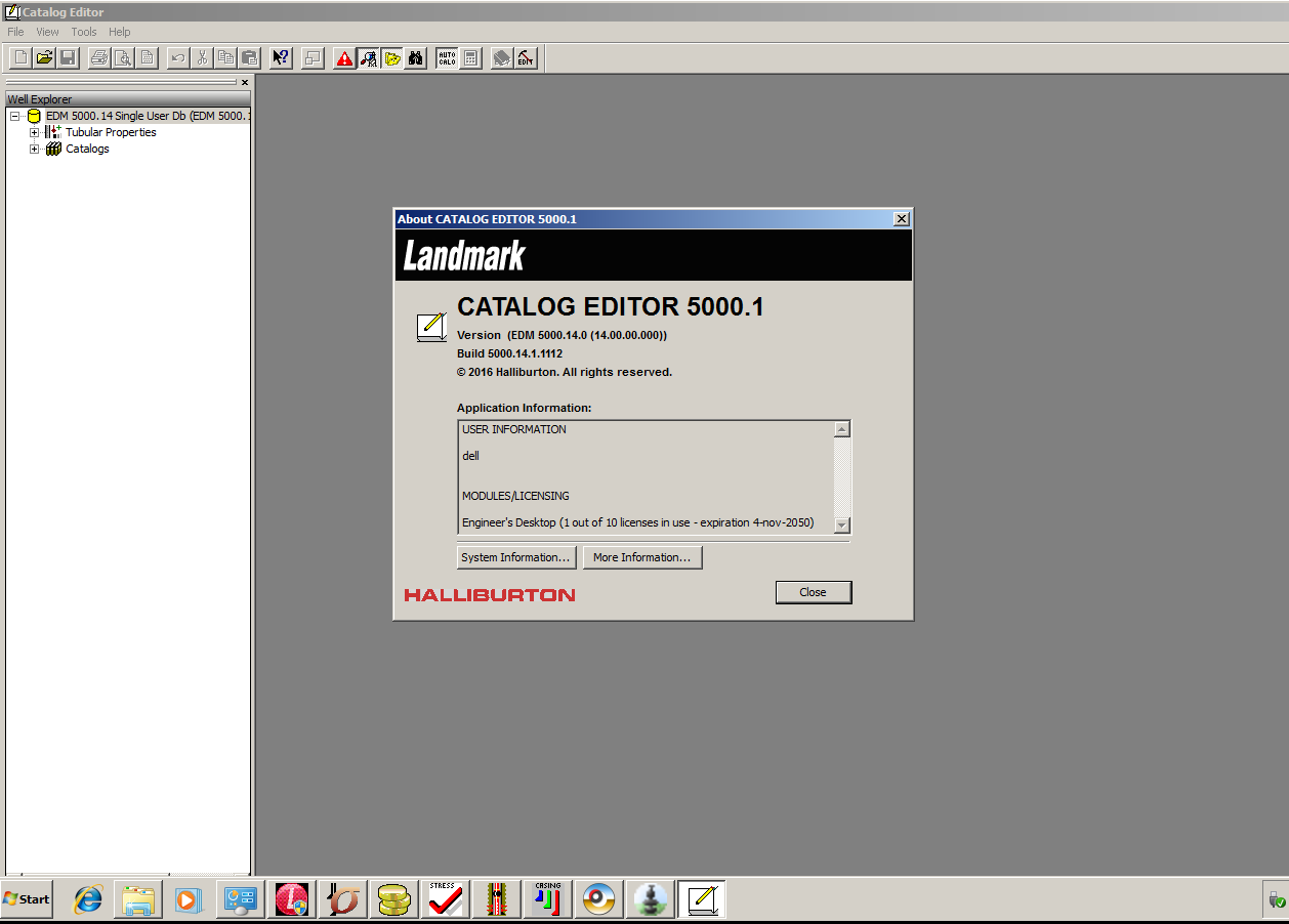
CATALOG EDITOR
Rig Editor

PROFILE
EDM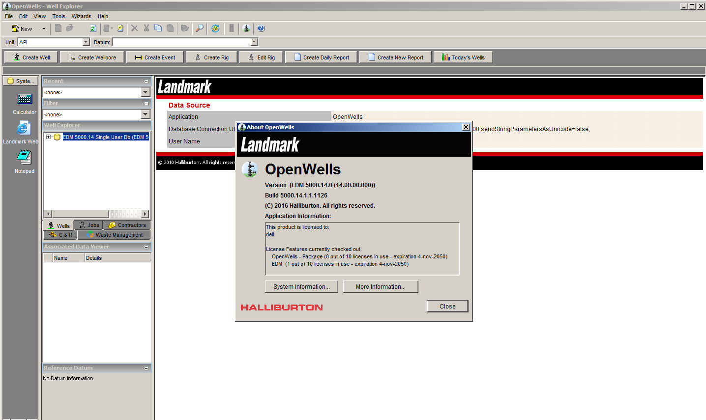
OPENWELLS
StressCheck
Data Analyzer
WELLCAT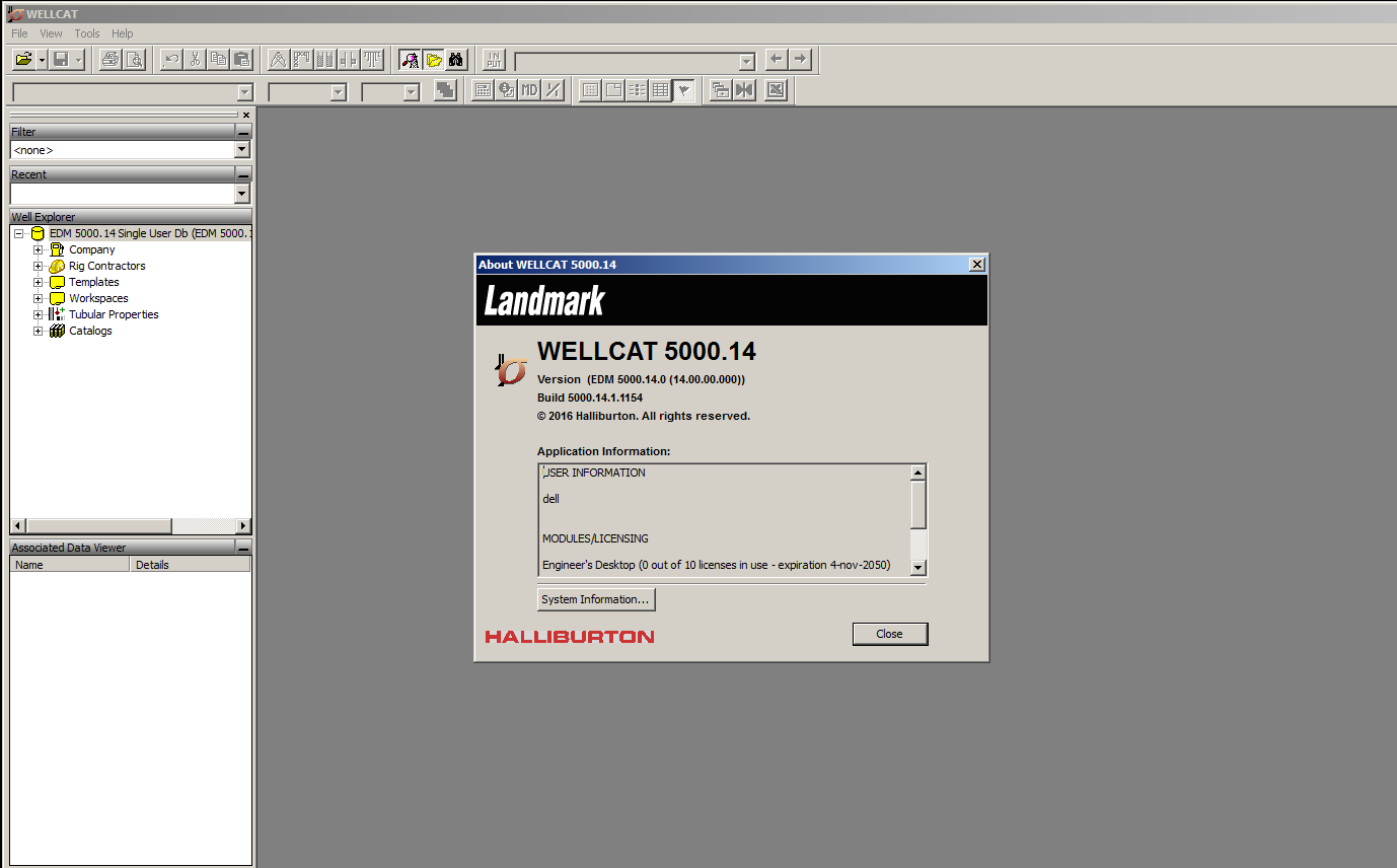
Well Cost
WellPlan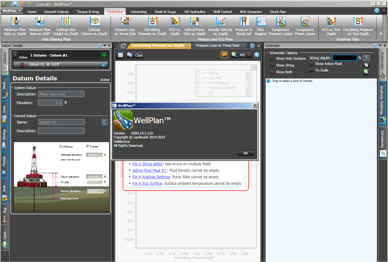
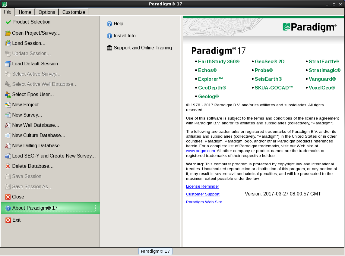
We are pleased to announce the availability of the ParadigmВ® 17 software release. Paradigm 17 extends the highdefinition
software platform offered in previous releases, and adds new features, advanced integration, and
extended interconnectivity.
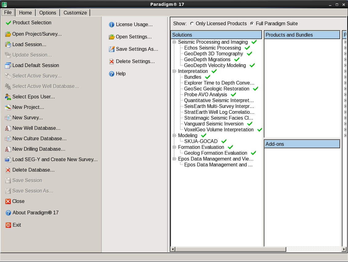
The following products are included in Paradigm 17:
вҖў EarthStudy 360В® – Full-Azimuth Imaging and Characterization
вҖў EchosВ® – Seismic Processing
вҖў Explorerв„ў – Time-to-Depth Conversion
вҖў GeoDepthВ® – Velocity Modeling and Imaging
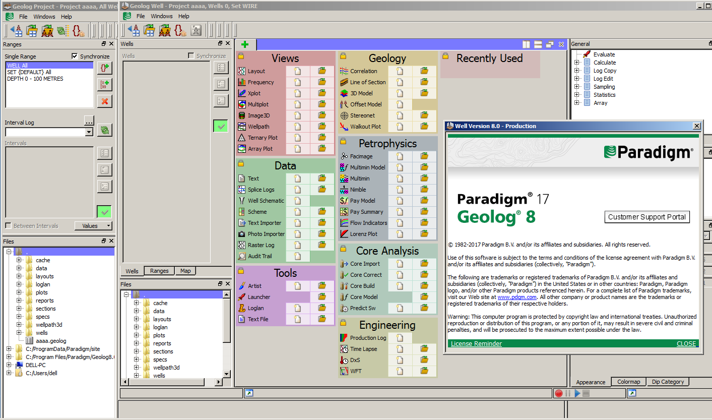
вҖў GeologВ® – Formation Evaluation
вҖў GeoSecВ® 2D – 2D Geological Structural Restoration
вҖў QSI (ProbeВ®/VanguardВ®) – AVO Analysis, Seismic Inversion, and Property Determination
вҖў SeisEarthВ® – Multi-Survey Interpretation
вҖў SKUA-GOCADв„ў – High-Definition Earth Modeling
вҖў StratEarthВ® – Geologic interpretation
вҖў StratimagicВ® – Seismic Facies Classification
вҖў SysdrillВ® Designer – Embedded Well Planning
вҖў VoxelGeoВ® – Voxel-Volume Interpretation
вҖў WAM – Web Asset Manager
The release is designed to improve the effectiveness of asset teams and enable superior decision-making using all available data in integrated workflows. To achieve this goal, Paradigm 17 introduces application and infrastructure enhancements to its SeisEarth interpretation system, consolidating its core interpretation windows (3D Canvas,BaseMap, and Section) into a single application. This integration is incorporated in part, or in full, into manyParadigm products and bundles that share the same windows. The result is improved cross-product integration, shorter work time and fewer button clicks. Waveform classification based on the well-established Stratimagic Neural Network approach is also now part of SeisEarth, as is a new Machine Learning-based, rock-type classification plug-in for interpreters. The new rock-type classification uses seismic data and facies logs to predictfacies volumes and their probability of occurrence, to improve reservoir characterization in conventional andunconventional plays.
In other enhancements to our Interpretation solution suite, VoxelGeo now offers significantly improved performance with multi-volume GPU rendering, and a new volume fusion tool. In SeisEarth, a built-in technique for loading image files enables the use of scanned and published cross-sections and seismic.
The Paradigm Quantitative Seismic Interpretation (QSI) solution is now available to WindowsВ® users, enabling them to enjoy the same advanced technology as LinuxВ® users. Significant enhancements have been made to theВ crossplot utility as well as to wedge/2D forward modeling, to enable more effective workflows and a betterВ understanding of the seismic response. This release also offers new workflows to extract more information from
inversion results.
GeoDepth users will enjoy productivity improvements when conducting multi-line 2D projects, including a new,generic GUI to define and run any supported application on all 2D lines in a project/survey, and a new clusterbasedВ parallelization engine that easily runs hundreds of 2D jobs simultaneously. This release offers full new 2DВ grid tomography and imaging workflows, and a 2D Kirchhoff time migration based on 3D running on multi-2D lines.В Enhancements to the GeoDepth 3D structural model-based tomography have been made to support geologicallyconstrainedВ velocity models and strengthen integration between GeoDepth and SKUA.
For our EarthStudy 360 full-azimuth decomposition and imaging solution, enhancements to the imaging operatorВ and filters to separate specular and diffraction energy have been introduced to generate improved and higherВ quality diffraction images from the fully recorded wavefield.
Other new features for Processing and Imaging users include a new method in Echos for production-orientedВ estimation and application of effective Q from seismic data, to support imaging in highly dispersive regimes andВ workflows with broadband acquisition and processing. New capabilities in refraction statics, data regularization,and trace interpolation have also been introduced to strengthen these widely used capabilities.
The SKUA-GOCAD Subsurface Modeling solution includes a number of important new features and performanceВ improvements. Robust structural models can now be constructed for even more complex geological conditions. Significant effort has gone into the further development of reservoir geomechanics. This includes new tools forВ building geomechanical mesh and directly exporting structured and unstructured grids to Dassault SystГЁmesВ Abaqus, along with the relevant mechanical rock properties and pore pressures. It is now easier than ever toВ customize workflows with macros, for enhanced automation and greater user empowerment. We have alsoВ improved connectivity and data exchange with the Epos data repository and with Petrel. In addition to the filebasedВ RESQML data exchange, SKUA-GOCAD can now connect to Petrel through a direct live link.
In Formation Evaluation, Geolog 8 in Paradigm 17 offers innovative new petrophysics features, including MonteВ Carlo uncertainty analysis for our probabilistic petrophysical solution Multimin, and a new 3D petrophysics featureВ that enhances the analysis of high angle and horizontal wells. The release also includes a new processing methodВ for slowness frequency analysis of full waveform sonic logs. Geolog 8 offers improved geomechanics, productionВ logging, and casing inspection functionality, along with new technologies for cement evaluation, pulsed neutron,В and DTS/DAS handling. Direct access to Matlabв„ў code using Geolog Loglan enables existing research work andВ custom calculations to be easily delivered to end users. And connectivity options have been expanded to includeВ completion import from Peloton WellViewВ®, and an update of Geolog-Petrel connectivity to Petrel 2016.
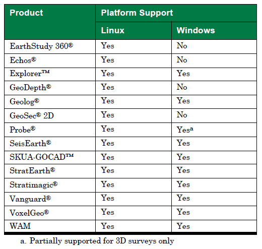
In addition to expanded communication between SKUA and Epos and the Petrel Connector, we have improved seismic data and ASCII import/export, and developed a new interface for batch loading data from OpenWorks® and GeoFrame®. Paradigm 17 supports the latest Linux and Windows 64-bit operating systems: Red Hat® Enterprise Linux 6.5 and subsequent minor releases, and 7.0 and subsequent minor releases, and Windows 7, 8.1,and 10.
Paradigm product development is carried out in collaboration with our customers, with the main goal of enhancingВ the user experience and outcomes. In Paradigm 17, as in other recent releases, Paradigm has significantlyВ expanded its investment in quality assurance, including extensive internal and beta testing. This, together with theВ technical depth of our solutions, is aimed at providing you with the best technologies for safe, reliable, and profitable extraction of the earth’s minerals. Your success is our highest priority. We encourage you to explore theВ many new features of Paradigm 17, and we look forward to your continued suggestions for improving our productВ lines.
Production logs, or PLs, are run on production or injection wells, with the goal of evaluating the well itself and/or the reservoir performance. Put simply, for producing wells, we need to determine what fluid is coming from which zone, and how much. The PL string may be a relatively simple, conventional configuration run in vertical or deviated wells that, based on the assumption the tool is centralised in the flow, measures the bulk flowrate using a calibrated spinner and then discriminates the fluid type(s) using a suite of tools usually including density, pressure and temperature applied to flow correlations in Emeraude.
With the proliferation of horizontal wells in recent years the PL strings have, by necessity, become increasingly complex. The challenge is to handle segregated flow by various distributed measurements around and across the section of the pipe. Emeraude has kept pace with these developments and offers a choice of calculation schemes and visualisation options to cope with these multiple array tools from any vendor.
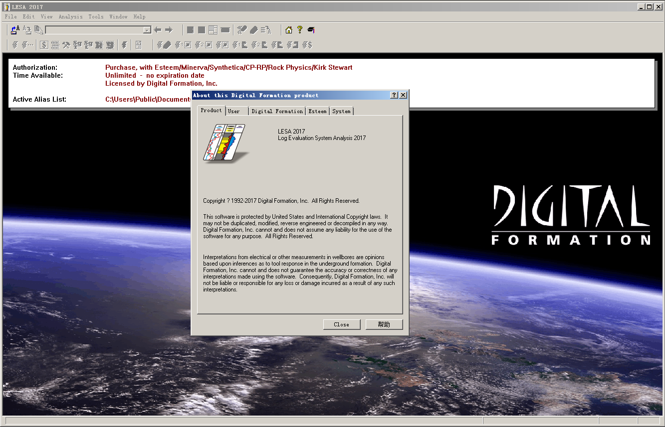
жөӢдә•иҜ„д»·зі»з»ҹеҲҶжһҗиҪҜ件LESA(Log Evaluation System Analysis)жҳҜдёҖж¬ҫеҹәдәҺWindowsе№іеҸ°зҡ„жөӢдә•жӣІзәҝеҲҶжһҗе’Ңи§ЈйҮҠиҪҜ件гҖӮиҜҘиҪҜ件е®Ңе…Ёе…је®№32дҪҚзҡ„Windows XP/Vista/7(еҸҠзӣёе…іжңҚеҠЎеҷЁзүҲжң¬,еҢ…жӢ¬64дҪҚзүҲжң¬)гҖӮе®ғж”ҜжҢҒд»ҘдёӢж–Үд»¶ж јејҸ:LASгҖҒLBSгҖҒLIS(еӨҡдёӘз§Қзұ»зҡ„LISж–Ү件,йҖҡиҝҮж–Үд»¶ж јејҸиҪ¬жҚўж”ҜжҢҒ)гҖҒASCII(еӨҡдёӘз§Қзұ»зҡ„ASCIIж–Ү件,йҖҡиҝҮж–Үд»¶ж јејҸиҪ¬жҚўж”ҜжҢҒ)гҖӮз»қеӨ§еӨҡж•°зҡ„иЈёзңјдә•жөӢдә•жӣІзәҝеҸҜд»Ҙиў«йӣҶжҲҗеҲ°жөӢдә•и§ЈйҮҠдёӯ.
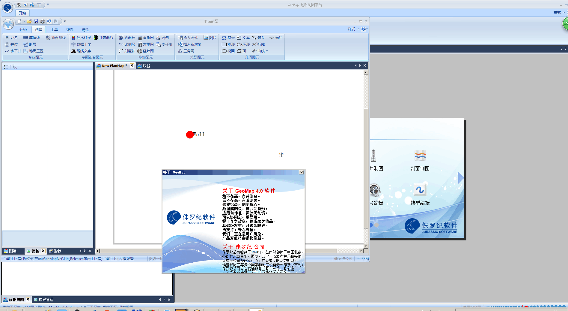
GeoMapең°иҙЁеҲ¶еӣҫзі»з»ҹеҹәдәҺвҖңеӣҫеҪў=ж•°жҚ®+жЁЎжқҝ+и§ӮзӮ№вҖқж ёеҝғжҖқжғіпјҢйҒөеҫӘиЎҢдёҡеҲ¶еӣҫж ҮеҮҶ规иҢғпјҢеҶ…еөҢдё°еҜҢзҡ„еӣҫе…ғз¬ҰеҸ·дёҺжЁЎжқҝпјҢе…·еӨҮзІҫзЎ®зҡ„жҠ•еҪұеқҗж ҮдҪ“зі»пјҢжҸҗдҫӣејәеӨ§зҡ„ж•°жҚ®жҲҗеӣҫгҖҒзј–иҫ‘е’Ңиҫ“еҮәеҠҹиғҪпјҢйҖӮз”ЁдәҺеӢҳжҺўгҖҒејҖеҸ‘гҖҒе·ҘзЁӢзӯүзҹіжІ№дё“дёҡйўҶеҹҹеҝ«йҖҹгҖҒеҮҶзЎ®гҖҒзҫҺи§ӮгҖҒ规иҢғзҡ„й«ҳиҙЁйҮҸе·ҘдёҡеҲ¶еӣҫгҖӮ
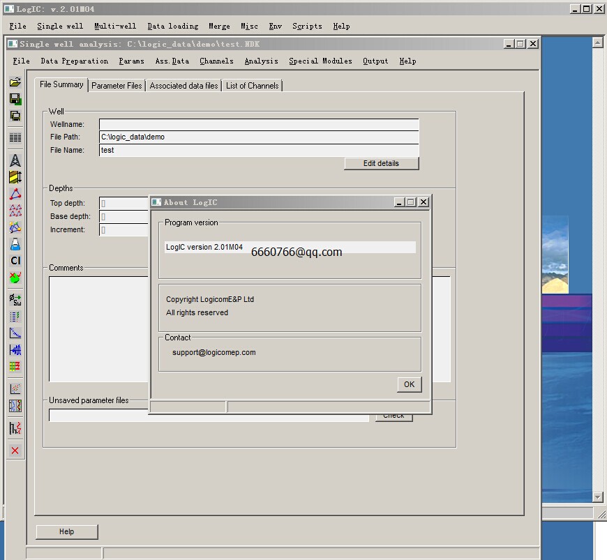
LogICжҳҜз”ұLogicom EPе…¬еҸёејҖеҸ‘зҡ„дёҖж¬ҫз”ЁдәҺеҲҶжһҗж ёзЈҒе…ұжҢҜгҖҒжҲҗеғҸгҖҒеЈ°жіўе’Ңжҷ®йҖҡжөӢдә•зі»еҲ—зҡ„еІ©зҹізү©зҗҶиҪҜ件гҖӮиҜҘиҪҜ件з”ұең°иҙЁеӯҰ家е’ҢеІ©зҹізү©зҗҶеӯҰ家дёҖиө·ејҖеҸ‘,д»Ҙж»Ўи¶іеӢҳжҺўе’ҢејҖеҸ‘йңҖжұӮгҖӮLogICејәи°ғйҖҹеәҰгҖҒзҒөжҙ»жҖ§е’Ңиҫ“еҮәиҙЁйҮҸ,е®ғд№ҹжҳҜдёҖдёӘжөӢиҜ•ејҖеҸ‘жғіжі•зҡ„е·Ҙе…·,并иғҪеӨҹеҜ№иҝҷдәӣжғіжі•иҝӣиЎҢжңүж•ҲжІҹйҖҡгҖӮиҝҷдәӣзү№жҖ§дҪҝеҫ—LogICжҲҗдёәејҖеҸ‘ж ёзЈҒе…ұжҢҜгҖҒжҲҗеғҸе’ҢеЈ°жіўжөӢдә•еә”з”Ёзҡ„жңҖдҪіе№іеҸ°гҖӮLogICзҡ„еҠҹиғҪеҢ…жӢ¬LISж јејҸгҖҒDLIS(RP66)ж јејҸгҖҒLASе’ҢBITж јејҸзӯүж•°жҚ®иҫ“е…Ҙе’ҢASCIIж–Ү件解з Ғ;
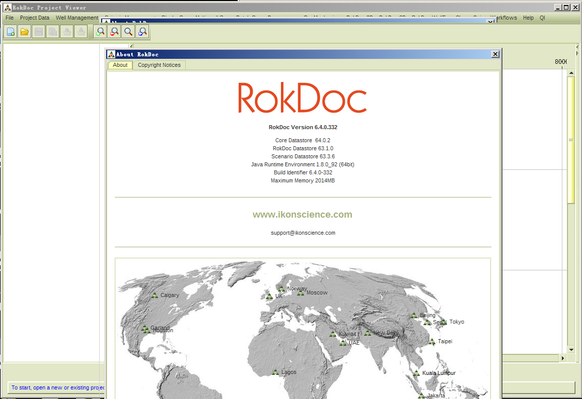
RokDocВ иҜҰе°ҪеҲҶжһҗжөӢдә•жҸӯ зӨәзҡ„жІ№ж°”зү№еҫҒе’ҢеҜ№еә”зҡ„ең°зҗғзү©зҗҶе“Қеә”规еҫӢпјҢеҸҜдҪҝең°йңҮи§ЈйҮҠе‘ҳгҖҒең°иҙЁеӯҰ家гҖҒең°зҗғ зү©зҗҶеӯҰ家е’ҢеІ©зҹізү©зҗҶеӯҰ家еңЁиҜҰз»ҶеҲҶжһҗи§ЈйҮҠеүҚиҝӣиЎҢеҝ«йҖҹеҮҶзЎ®зҡ„жІ№ж°”еҲӨеҲ«е’Ңйў„жөӢгҖӮ
жӯӨиҪҜ件еҲҶжһҗжІ№ж°”жөӢдә•е“Қеә”зү№еҫҒпјҢзЎ®е®ҡзӣёе…ізҡ„еј№жҖ§еҸӮж•°пјҢ继иҖҢжҳҺзЎ®жІ№ж°”дә§еұӮ зҡ„ең°йңҮзү№еҫҒпјҢжҸҗдҫӣең°йңҮиө„ж–ҷеҸҠеҸҚжј”жҲҗжһңжІ№ж°”жЈҖжөӢзҡ„ж ҮеҮҶе’Ңж–№жЎҲгҖӮ е®ғеҢ…еҗ«д»ҘдёӢеҠҹиғҪпјҡ
жөӢдә•иө„ж–ҷеӨ„зҗҶеҸҠжІ№ж°”еҲҶжһҗ
еІ©зҹізү©зҗҶжЁЎеһӢеҸҠеҲҶжһҗ
жЁӘжіўйў„жөӢеҸҠжңүж•ҲжҖ§еҲҶжһҗ
еӣӣжҖ§е…ізі»еҸҠеІ©зҹізү©зҗҶе“Қеә” AVOеҲҶжһҗпјҲеҚ•еұӮжҲ–еҗҲжҲҗйҒ“йӣҶпјү
жІ№ж°”ж°ҙжЁЎеһӢеҸҠе…¶ең°зҗғзү©зҗҶе“Қеә”пјҲдәҢз»ҙпјү
еӣӣз»ҙең°йңҮжІ№и—Ҹзӣ‘жөӢ
еҺӢеҠӣйў„жөӢ
RokDocжҳҜдёҖеҘ—еҸҜе»әз«ӢдёҖз»ҙгҖҒдәҢз»ҙеІ©зҹізү©зҗҶжЁЎеһӢгҖҒиҝӣиҖҢиҝӣиЎҢең°йңҮжӯЈжј”жЁЎжӢҹеҸҠеӮЁеұӮгҖҒжөҒдҪ“йў„жөӢзҡ„иҪҜ件гҖӮз»јеҗҲеҲ©з”ЁжөӢдә•гҖҒең°йңҮгҖҒең°иҙЁиө„ж–ҷпјҢд»ҘеҚ•дә•жҲ–еӨҡдә•еІ©зҹізү©зҗҶеҲҶжһҗдёәеҮәеҸ‘зӮ№пјҢз»“еҗҲең°йңҮиҝӣиЎҢжӯЈжј”жЁЎжӢҹпјҢз»јеҗҲеҲҶжһҗеӮЁеұӮгҖҒжІ№ж°”ең°зҗғзү©зҗҶе“Қеә”зү№еҫҒпјҢеҝ«йҖҹиҝӣиЎҢеӮЁеұӮгҖҒжІ№ж°”йў„жөӢгҖӮиҪҜ件иҝҳж•ҙеҗҲдәҶеҺӢеҠӣи®Ўз®—е’ҢеҲҶжһҗгҖҒеҗ„еҗ‘ејӮжҖ§еҲҶжһҗгҖҒVSPзӯүзӢ¬з«Ӣзҡ„еҠҹиғҪжЁЎеқ—пјҢжҳҜеӮЁеұӮвҖңйҮҸеҢ–вҖқи§ЈйҮҠзҡ„е…ҲеҜјиҖ…гҖӮ
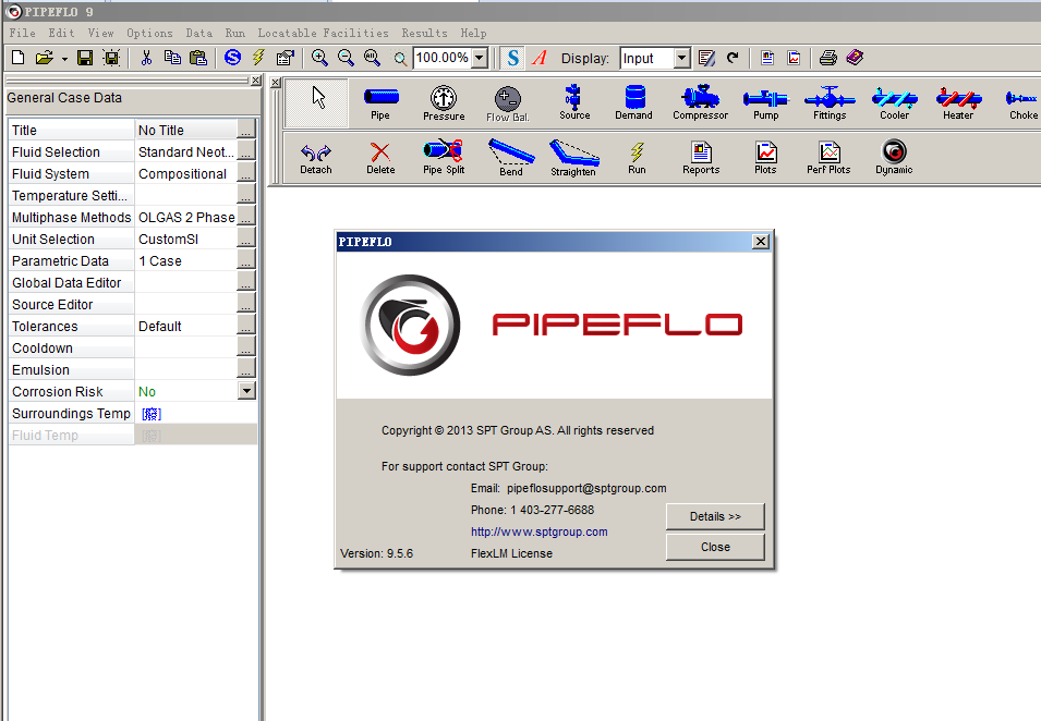
PIPEFLO жҳҜзЁіжҖҒйӣҶиҫ“еҚ•з®ЎзәҝжҲ–еӨҚжқӮз®ЎзҪ‘зҡ„ж°ҙеҠӣзғӯеҠӣеӯҰжЁЎжӢҹиҪҜ件пјҢеҸҜд»ҘеҜ№еӨҚжқӮз®ЎзҪ‘е»әжЁЎпјҢ并иғҪжЁЎжӢҹеҮәзі»з»ҹ д»»дёҖеӨ„зҡ„еҺӢеҠӣпјҢжё©еәҰпјҢдј зғӯгҖҒжҢҒж¶ІзҺҮгҖҒжөҒдҪ“зҡ„йҖҹеәҰгҖҒжөҒжҖҒе’ҢеҺӢйҷҚзӯүпјҢд№ҹеҸҜд»ҘжЁЎжӢҹз®Ўзәҝжё…з®ЎпјҢжЁЎжӢҹз®ЎзәҝеҒң иҫ“жё©йҷҚдёҺж°ҙеҗҲзү©з”ҹжҲҗиҫ№з•Ңзӯүж“ҚдҪңеј•иө·зҡ„еҸҳеҢ–пјҢиҝҳеҸҜд»ҘиҝӣиЎҢеҹӢең°з®ЎзәҝгҖҒжө·еә•з®ЎзәҝгҖҒең°йқўз®ЎзәҝжҲ–йғЁеҲҶеҹӢең°з®Ў зәҝзҡ„дј зғӯи®Ўз®—пјҢз®Ўзәҝзҡ„ CO2 жҲ– H2S и…җиҡҖи®Ўз®—пјҢз®ЎзәҝеҶІиҡҖйҖҹеәҰйҷҗеҲ¶и®Ўз®—пјҢж®өеЎһеӨ§е°Ҹе’Ңйў‘зҺҮи®Ўз®—зӯүгҖӮPIPEFLO иҪҜ件дёҺ OLGA иҪҜ件жңүдё“з”ЁжҺҘеҸЈеҸҜд»Ҙе°Ҷиҫ“е…ҘзӣҙжҺҘдҝқеӯҳжҲҗ OLGA иҪҜ件模 еһӢдҫӣ OLGA дҪҝз”ЁгҖӮ
PIPEFLO иҪҜ件主иҰҒеҠҹиғҪпјҡ
вҖў пғҳз®ЎзәҝеҶ·еҚҙжЁЎжӢҹ
вҖў пғҳж®өеЎһжё…з®Ўи®Ўз®—
вҖў пғҳеҶІиҡҖйҖҹеәҰи®Ўз®—
вҖў пғҳдёҘйҮҚж®өеЎһжЁЎжӢҹ
вҖў пғҳи…җиҡҖйў„жөӢ(еҢ…жӢ¬ CO2 е’Ң H2S)
вҖў пғҳжІ№/ж°ҙд№іеҢ–
вҖў пғҳйӣҶиҫ“з®ЎзҪ‘жЁЎжӢҹ
вҖў пғҳж°ҙеҗҲзү©йў„жөӢ
вҖў пғҳж°ҙеҗҲзү©жҠ‘еҲ¶еүӮжЁЎжӢҹ
PIPEFLO иҪҜ件зү№зӮ№пјҡ
1пјүеӨ„зҗҶз»„еҲҶпјҢй»‘жІ№пјҢйқһз»„еҲҶе’Ңи’ёжұҪзі»з»ҹгҖӮ
2пјүе·ІзҹҘжё©еәҰи®Ўз®—пјҡиҝҷжҳҜиҜ„дј°з®ЎйҒ“жЁЎеһӢеҜ№жөҒдҪ“жөҒеҠЁжё©еәҰж•Ҹж„ҹжҖ§зү№еҲ«жңүз”Ёзҡ„йҖүйЎ№гҖӮ
3пјүеңЁз®ЎйҒ“дёӯеҗҢж—¶и®Ўз®—еҺӢеҠӣе’Ңжё©еәҰеү–йқў
PIPEFLO и§ЈеҶіж–№жі•е…Ғи®ёз”ЁжҲ·и®Ўз®—жё©еәҰе’ҢеҺӢеҠӣеү–йқўпјҢеӣ иҖҢеҸҜд»ҘиҜ„д»·зғӯдј еҜјеҜ№ж¶ІдҪ“жјҸеӨұе’Ңе…¶д»– PVT жҖ§иҙЁзҡ„еҪұе“ҚгҖӮжҖ»дј зғӯ зі»ж•°еҸҜд»ҘжҳҜеёё ж•°гҖҒд»»ж„Ҹж”№еҸҳжҲ–иҖ…ж №жҚ®еҸҳеҢ–зҡ„еҸӮж•°и®Ўз®—еҫ—еҲ°гҖӮ
4пјүж°ҙеҗҲзү©йў„жөӢе’Ң OLGAS жЁЎеһӢ
NEOTEC дёҺ SPT е…¬еҸёеҗҲ并пјҢеңЁ PIPEFLO дёӯзҡ„ж°ҙеҗҲзү©йў„жөӢгҖҒOLGAS 2000 дёӨзӣёе’ҢдёүзӣёеҺӢйҷҚжЁЎеһӢж–№йқўдә’зӣёиҙҜйҖҡгҖӮ
5пјүдҫөиҡҖйҖҹеәҰжҲ–ж®өеЎһжөҒеү–йқўеӣҫеҲҶеёғ
PIPEFLO еҸҜд»ҘжҺҘеҸ—еӨҡз§ҚеҪўејҸзҡ„еү–йқўеӣҫж•°жҚ®пјҲеҢ…жӢ¬еһӮзӣҙеү–йқўпјүпјҢеҜје…Ҙз”өеӯҗж•°жҚ®иЎЁпјҢиҫ“е…Ҙеү–йқўж•°жҚ®пјҢеҚіеҸҜз»ҳеҮәеҲҶеёғеӣҫпјҢ жҳҫзӨәдә•ж–ңи§’гҖӮи®Ўз®—з»“жһңеқҮеҸҜжҳҫзӨәеңЁеү–йқўеӣҫдёҠпјҢеҰӮеҺӢеҠӣпјҢжё©еәҰпјҢж°”дҪ“е’ҢжөҒдҪ“зҡ„йҖҹ В В В В еәҰеү–йқўеӣҫпјҢжҢҒж¶ІзҺҮе’ҢжөҒжҖҒгҖӮ
6пјүйҖүжӢ©еӨҡз§ҚеҠӣеӯҰжЁЎеһӢе®ҢжҲҗеӨҡзӣёжөҒи®Ўз®—пјҢеҜ№жҜ”жөҒжҖҒгҖҒжҢҒж¶ІзҺҮе’ҢеҺӢжҚҹ
PIPEFLO дёәжӢҹеҗҲе®һйҷ…еҺҹе§Ӣж•°жҚ®жҸҗдҫӣеӨҡз§ҚйҖүжӢ©гҖӮ
7пјүиҮӘеҠЁи®Ўз®—жөҒйҖҹ
еҰӮжһңз®Ўзәҝд»»дёҖз«ҜеҺӢеҠӣжҳҜеӣәе®ҡзҡ„пјҢеҸҜи®Ўз®—еҮәжңӘзҹҘеҺӢеҠӣпјҢдҪҶеҰӮжһңйҷҗе®ҡз®ЎзәҝдёӨз«Ҝзҡ„еҺӢеҠӣпјҢPIPEFLO з”ЁзІҫзЎ®зҡ„иҝӯд»Јжі•еҚіеҸҜи®Ў з®—гҖӮ
8пјүжҸҗдҫӣеӨҡз§ҚеңЁзәҝе·Ҙе…·
PIPEFLO иҖғиҷ‘еҲ°еҠ зғӯе’ҢеҶ·еҚҙзҡ„йңҖиҰҒпјҢиҫ№ж°ҙзҡ„еҪұе“ҚпјҢеҗҢж—¶еҸҲиҖғиҷ‘еҲ°йҳҖжҲ–и°ғиҠӮеҷЁзҡ„еҪұе“ҚпјҢзІҫзЎ®и®Ўз®—еҺӢзј©жңәе’Ңжіөзҡ„еҠҹзҺҮгҖӮ
еӨҡзӣёжөҒжЁЎжӢҹи®Ўз®—иҪҜ件PIPEFLOз®Җд»Ӣ
PIPEFLO is a steady state simulator for flow assurance issues.
PIPEFLOвҖҷs features for sensitivity studies make it fast and easy for users to consider a wide variety of options in order to arrive at the best solutions for their design issues and operational problems.
Plunger Lift:
Improved numerical algorithm used during single-cycle calculations. Now the seating nipple can be set further up in the tubing without calculation issues.
Enhanced calculation resolution when a вҖңGeneralвҖқ wellbore configuration is used. This is especially useful when running tapered tubing scenarios (i.e. adding a short syphon string below the seating nipple).
Refined tolerance used during single-cycle calculations improving calculation stability and convergence.
Choke calculations (see note in вҖңKnown IssuesвҖқ on how to access them):
Improved interpolation algorithm used for single phase liquid calculations across chokes.
Adjusted tolerance used in the calculation of critical/sub-critical conditions in bottomhole choke wellbore calculations.
Enhanced вҖңStop CalculationsвҖқ functionality to fully suspend auto-refresh behavior. This reduces вҖңflickeringвҖқ by allowing changes to fluid properties and/or wellbore configuration data without auto-recalculating results. For example, now deviation surveys can be copy-pasted for a вҖңGeneralвҖқ wellbore configuration without having to wait for casing data consistency checks.
Corrected Issues
Pressure calculation settings are properly stored and used during erosion velocity calculations.
Browsing option to change reports folder is now functional.
Minor interface grid fixes.
Oil properties calculations while making use of adjustment factors.
Known Issues
Choke calculation tools: Features are hidden by default. They can be unlocked by opening a file with an active choke analysis already in it. Please contact technical support to receive a set of template files and guidelines to create a new file.
Incorrect values are pasted when copying data from Excel: If the data from Excel uses a comma as separator of thousands (for example, 1,450.26), when pasted into VirtuWell the comma is taken as a point (for example, 1.45026 is pasted). This can be avoided if the cell format in Excel is set as вҖңGeneralвҖқ before copy/pasting the data into VirtuWell.
Plunger Lift plot customization is not saved: Plunger plots can be modified as long as the user does not switch to another calculation module. Customized plots can still be copy-pasted to Excel by using the вҖңCopy PlotвҖқ option from the pop-up menu accessible through the right-click of the mouse.
F.A.S.T WellTestжҳҜдёҖеҘ—еҲ°зӣ®еүҚдёәжӯўпјҢеҹәдәҺе®һж—¶ж•°жҚ®йҮҮйӣҶзі»з»ҹд№ӢдёҠпјҢз•ҢйқўеҸӢеҘҪпјҢжҠҖжңҜе…Ҳиҝӣзҡ„еҺӢеҠӣдј еҜјеҲҶжһҗиҪҜ件еҢ…гҖӮе®ғеҢ…еҗ«дәҶеҫҲеӨҡз®ҖеҚ•зҡ„жҲ–иҖ…е…Ёйқўзҡ„жІ№и—ҸжЁЎеһӢгҖӮиҝҷдәӣжЁЎеһӢйғҪиғҪеӨҹеҝ«жҚ·жҳ“з”Ёзҡ„еҲҶжһҗиҺ·еҫ—еӮЁеұӮзҡ„жё—йҖҸзҺҮгҖҒдә•зӯ’еӮЁйӣҶзі»ж•°гҖҒиЎЁзҡ®зі»ж•°гҖҒжҺ’йҮҮйқўз§ҜгҖҒеҺҹе§ӢеӮЁйҮҸе’ҢжҺӘж–Ҫж•ҲжһңгҖӮеҸҰеӨ–пјҢж №жҚ®зӣҙзәҝзҡ„еҺӢеҠӣеҸҳеҢ–еҸҜд»ҘиҝӣиЎҢеҗ„з§ҚжЁЎеһӢзҡ„дә§иғҪйў„жөӢгҖӮд№ҹеҸҜд»Ҙж №жҚ®дә•еҸЈзҡ„еҺӢеҠӣж•°жҚ®жқҘиҺ·еҫ—дә•еә•зҡ„еҺӢеҠӣж•°жҚ®пјҢд»ҘдҫҝиҝӣиЎҢеҲҶжһҗгҖӮ
New Features/Enhancements:
В· Interoperable with IHS HarmonyTM 2016 v2: use Export to WellTest… option in Harmony; then open exported .hmexp file in WellTest.