GeoTomo develops and offers high-end geophysical software products and provides advanced data processing services that help geophysicists around the world to image the near-surface and subsurface in areas with rough topography, complex near-surface, and complex subsurface. These products include TomoPlus; near-surface imaging & statics solutions, GeoThrust; seismic data processing system, VECON; VSP and surface seismic modeling and survey design, MiVuTM; microseismic processing system.
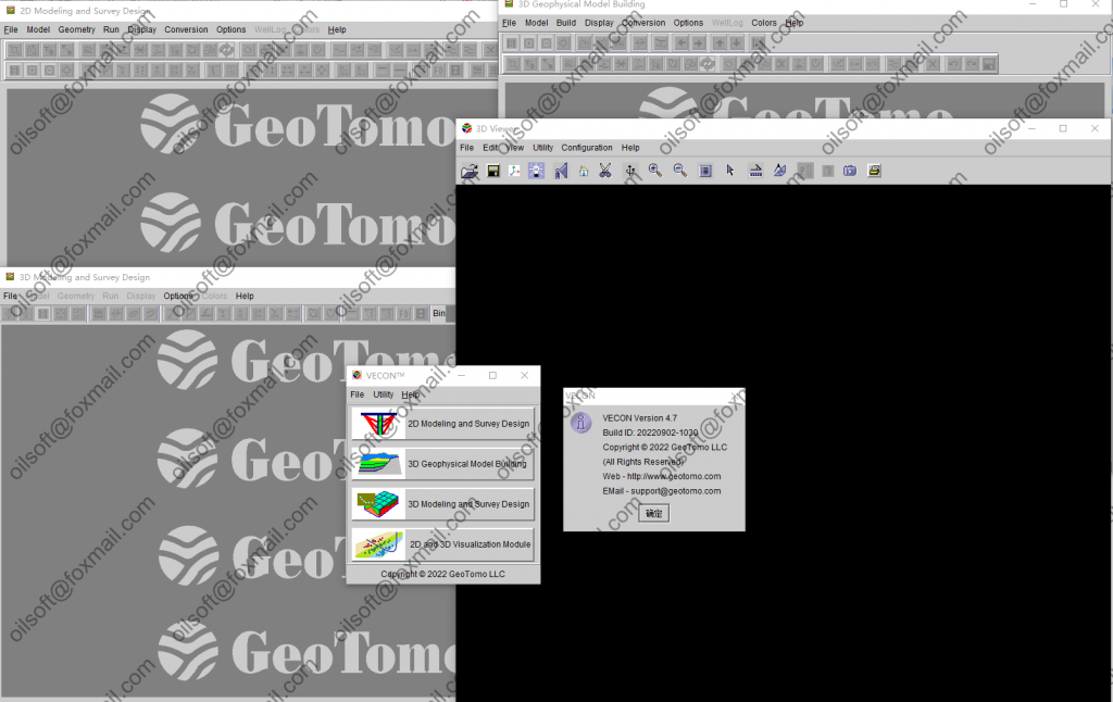
VECON™ is a powerful 2D/3D VSP and surface seismic survey design and modeling system that makes completion of a variety of difficult jobs extremely efficient. Designed for any level of geoscientists, VECON features a fast, accurate, intuitive and easy-to-use toolkit for working on site, remotely through Internet, or in a workstation environment.
VECON™ imports models in a variety of other program formats and can handle arbitrary coordinates systems. Imported models geometries can be rotated to local N/S coordinates for efficient raytracing. Large reservoir models can be cropped around the area of the well or specific area of interest to reduce model size and improve performance.
sizeпјҡ1 dvd
downloadпјҡзӮ№иҝҷдёӢиҪҪlink
ж–Ү件еӨ§е°Ҹпјҡ1 dvd
дёӢиҪҪең°еқҖпјҡзӮ№иҝҷдёӢиҪҪ

