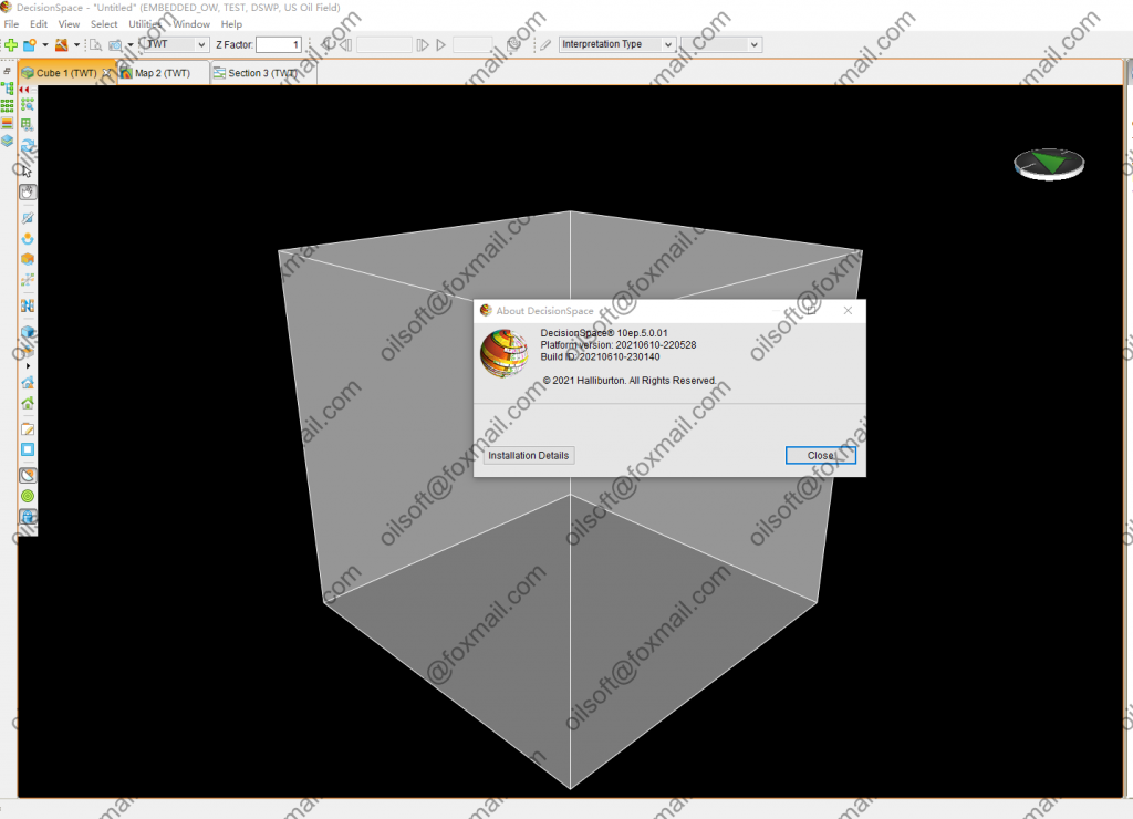
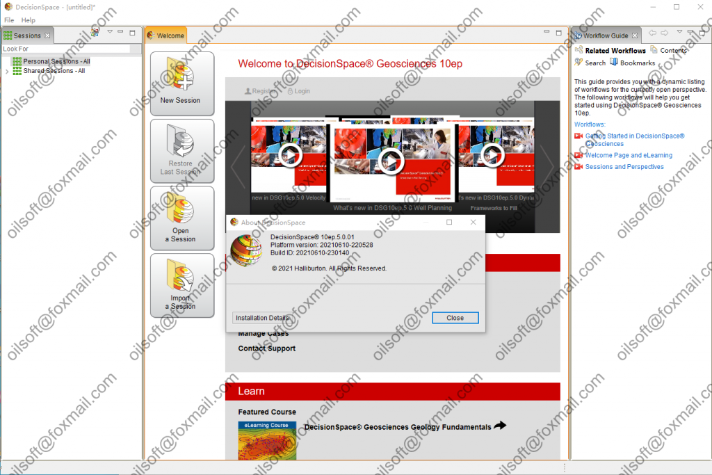
A Taste of the Benefits
Some of the noteworthy benefits you can expect from DecisionSpace® Geosciences 10ep to help you do more with less include: :
- A comprehensive workflow for unconventionals
- New integrated petrophysics offering for log analysts and asset geologists, enabling dynamic property mapping and further accelerating the workflow in static and dynamic modeling
- Key capabilities including enterprise data search, 2D mapping, multivariate analysis, and automated fault interpretation
- Increased performance improvements
Workflows that Save TimeВ & Money
Workflows are an important part of daily life in the E&P world. All of the DecisionSpace Geosciences workflows are specially designed to assist with optimizing exploration, reservoir, and well construction lifecycle management. Some are brand new and others have been redesigned with the current 10ep release, making them more relevant to the pressing market needs of today.
-
- E&P Search вҖ“В Asset teams spend a significant amount of time finding, loading, and validating data. DecisionSpace Geosciences 10ep provides a GIS-based search workspace that provides ready access to all available data across the enterprise including multi-vendor data, so you can easily find and quickly get to work with the relevant data, freeing time for interpretation, petrophysical evaluation, earth modeling, or drilling.
-
- Petroleum Systems Modeling вҖ“В As you build your prospect portfolio in DecisionSpace Geosciences 10ep, you can perform quick basin screening and lead definition, or assess connectivity and compartmentalization using proven Permedia Petroleum SystemsВ modeling software now embedded in our geologic interpretation component.
-
- Integrated Petrophysics вҖ“В Increase asset team efficiency by reducing the time you spend looking for and analyzing high-value log data, freeing time for reservoir characterization and formation evaluation workflows. The single platform of DecisionSpace Geosciences 10ep enables true multi-user and single-to-multi-well-to-field level capability from Borehole Data Management (BHDM) to Project Data Management. With information stored centrally, it can be promptly shared across the asset team, eliminating the need to shift, export, and manipulate borehole and log data from multiple stores.
-
- Redesigned Mapping Workflows вҖ“В New DecisionSpace Geosciences 10ep capability takes proven ZMAP+ gridding and contouring algorithms and packages them in a new tool with interactive data analysis and filtering, advanced horizon merge options, surface shaping, and advanced map QC capabilities, so you can create more accurate maps faster.
-
- Automated Fault Interpretation вҖ“В Fault interpretation can take up a significant amount of budgeted interpretation time, and any ability to augment this step can significantly reduce time while increasing quality. DecisionSpace Geosciences 10ep includes a suite of fault tools for automatic interpretation and validation of faults in a seismic volume, while also providing the ability to adjust and improve the results in an efficient way as a timesaving extension to the manual interpretation workflow.
-
- EarthВ Modeling вҖ“В Asset modeling teams will greatly benefit from the integrated reservoir characterization solution that focuses on robust integrated workflows. Asset complexities and variability are captured in the 3D earth model, and the new natural fracture network modeling further enhances the interpretation through the earth modeling workflow for both conventional and unconventional reservoirs. With new local 3D grid updating, asset modelers can fast-track earth model grid updates with new well data helping to reduce not only modeling time but also updates to operations who need the most up-to-date reservoir information for making timely decisions.
-
- Integrated Geoscience and Drilling Workflows вҖ“В Whether your wells take three days or three months to drill, your ability to integrate geoscience and drilling can materially impact well planning cycle time and the cost of drilling operations. Experience new capabilities to plan, design, and construct wells in a collaborative environment where geology, geophysics, and drilling can work together to make decisions in real time.
-
- Horizontal Well Correlation вҖ“В DecisionSpace® Horizontal Well Correlation software is designed to give onshore and offshore operators real-time subsurface intelligence to better optimizeВ their drilling programs. This approach is beneficial in every scenario in which you have deviated wells, from production drilling in shale plays to complex geology in mature fields.
- Horizontal Well Correlation вҖ“В DecisionSpace® Horizontal Well Correlation software is designed to give onshore and offshore operators real-time subsurface intelligence to better optimizeВ their drilling programs. This approach is beneficial in every scenario in which you have deviated wells, from production drilling in shale plays to complex geology in mature fields.
В
- Enhanced User ExperienceВ вҖ“В At the end of the day, it is not just about the data. It is also about the people who find and interpret the data. To support the breadth of workflows across the entire E&P lifecycle, targeted redesign to the user interface, on-demand video based eLearning, and support has been implemented. This simplification of the interface allows you to focus more effectively on the core tasks being performed, find and learn capabilities on demand, and get support directly from DecisionSpace Geosciences 10ep experts.


