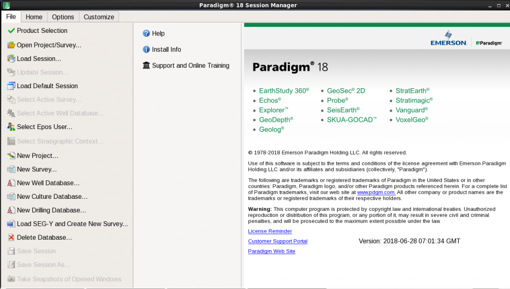
 EmersonвҖҷs ParadigmВ® 18 provides a next-generation platform that includes new applications for advanced automation using machine learning methods, enhanced integration across the full range of Paradigm solutions, more effective collaboration, with applications running on the Cloud, and optimization of processes and workflows, including high-resolution seismic processing, imaging and modeling, that improve image and earth model accuracy. The following products are included in Paradigm 18: вҖў EarthStudy 360В® Full-Azimuth Imaging and Characterization вҖў EchosВ® Seismic Processing вҖў Explorer™ Time-to-Depth Conversion вҖў GeoDepthВ® Velocity Modeling and Imaging вҖў GeologВ® Formation Evaluation вҖў GeoSecВ® 2D 2D Geological Structural Restoration вҖў QSI (ProbeВ®/VanguardВ®) AVO Analysis, Seismic Inversion, and Property Determination вҖў SeisEarthВ® Multi-Survey Interpretation вҖў SKUA-GOCAD™ High-Definition Earth Modeling вҖў StratEarthВ® Geologic Interpretation вҖў StratimagicВ® Seismic Facies Classification вҖў SysdrillВ® Designer Embedded Well Planning вҖў VoxelGeoВ® Voxel-Volume Interpretation вҖў WAM Web Asset Manager This release uses Machine Learning as a data integrator and process automation tool, and introduces new solutions for the unsupervised classification of prestack and poststack seismic data. Geobody detection has been integrated into the SeisEarth interpretation solution suite and can be applied to the results of the seismic facies classification. A new parameter sensitivity analysis has been introduced in this release to facilitate user understanding of the impact of parameter changes on several interpretation workflows. Accessibility and collaboration are optimized through support for applications running on the Cloud. This gives Paradigm users another way to access our products, and makes it easier than ever for remote teams to work together. In Paradigm 18, further enhancements have been made to the Integrated Canvas released in ParadigmВ® 17, that consolidates the core SeisEarth interpretation windows (3D Canvas, BaseMap, and Section) into a single application. The Integrated Canvas is complemented with new high-resolution workflows for interval seismic, Spectral Decomposition, and Dip Steered Enhancement attributes.
Paradigm 18 introduces a вҖңStratigraphic ContextвҖқ for a variety of interpretation activities. This new functionality groups together user selections of well data activity, marker priority, and assignment, with the Epos Formation Table. It enables users to easily switch between different combinations of any of the above through a simple one-step mechanism, and to share their data selections easily with colleagues. Integration between interpretation and modeling applications has been extended in Paradigm 18. In this release, the main Interpretation windows share a common user interface with SKUA-GOCAD, for more efficient work. Time-based production data loaded in EposВ® may now be accessed by StratEarth and SKUA-GOCAD, enabling a more comprehensive analysis of this data within the interpretation framework. StratEarth is also available in the same window used by BaseMap, 3D Canvas, and Section, to improve the experience of geologists working in the Epos environment. QSI (Probe/Vanguard) has been enhanced and now includes automatic parameter optimization at all well locations for seismic inversion and AVO(A) activities. New rock physics template creation and display are now available in the crossplot utility. Users can access rock physics templates from the Epos database or from Geolog. For GeoDepth velocity model building users, tomography updates include support for large datasets in conjunction with high-resolution tomographic update grids. This leads to a substantial reduction in memory consumption and project run times, while resulting in more accurate velocity models. The integration between GeoDepth and SKUA has been further strengthened by enhancements to GeoDepth 3D structural model-based tomography, made to support geologically constrained velocity models that honor faults and multi-valued surfaces. Additionally, a time-preserving tomography workflow supports complex models, facilitating the minimization of mis-ties between well markers and the structural model in depth. GeoDepth users will enjoy productivity improvements when performing velocity model updating and imaging of multi-line 2D projects, including a new 2D Kirchhoff depth migration, 2D illumination studies, and others. A new orthorhombic workflow is now available for output from EarthStudy 360 Imager, enabling more accurate estimation of fracture orientation and stress. New features for users of Echos include a method for model-based ground roll modeling and attenuation based on estimation of near surface parameters, new residual statics applications, and an alternative method for 5D data reconstruction based on Radon Transform data modeling for improved signal representation. New workflows and tools leverage modern workstations for the graphical display, analysis, quality control, and manipulation of seismic survey geometry information. And new seismic file parallel I/O capabilities provide improved throughput for seismic processing and imaging workflows. SKUA-GOCAD modeling workflows have been optimized to handle large numbers of wells. Additional functionality for unflattening interpretation data and seismic volumes has been added to better benefit from SKUA-GOCAD paleospace. Also in SKUA-GOCAD, gridless geostatistics have been added for stratigraphically constrained property modeling on unstructured grids and meshless objects. The release upgrades its support for geomechanical workflows with hybrid grids that combine the benefits of structured and unstructured grids, in support of both flow simulation and geomechanical simulation workflows.
A significant upgrade to Geolog 18 is the generalization of petrophysical uncertainty, which enables most Geolog modules and Loglans to run in Monte Carlo mode. Other updates include a new customized reporting module, a Formation Testing methodology, and major updates to the geomechanics, engineering, and production modules, including a new cement evaluation functionality. Python programming support is also enabled inside Geolog Loglan. In Paradigm 18, access to Web-based Open Source and GIS data sources has been extended. A new mechanism that allows the automatic distribution of вҖңapprovedвҖқ support packs to all Windows users of Paradigm applications offers significant benefits to large deployments. This release offers very high levels of prestack seismic data compression, with no significant degradation of the seismic data signal. We develop products in collaboration with our customers, with the main goal of enhancing the user experience and outcomes. In Paradigm 18, as in other recent releases, we have significantly expanded our investment in quality assurance, including extensive internal and beta testing. This, together with the technical depth of our solutions, is aimed at providing you with the best technologies for safe, reliable, and profitable extraction of the earth’s minerals. Your success is our highest priority. We encourage you to explore the many new features of Paradigm 18, and we look forward to your continued suggestions for improving our product lines.
